Even though the snow has just started to fall and winter is here, I can’t help but think about summer. When I think about getting outside, especially on the river, one of the first things I look forward to do is jumping in! The cool water provides such a welcome relief from the hot sun beating down on my neck and back. But just jumping in can also be hazardous, which is where the Snake River Waterkeeper is working to educate river lovers – from swimmers and boaters to walkers and anglers – about the safety of local rivers and streams within the Snake River Basin.
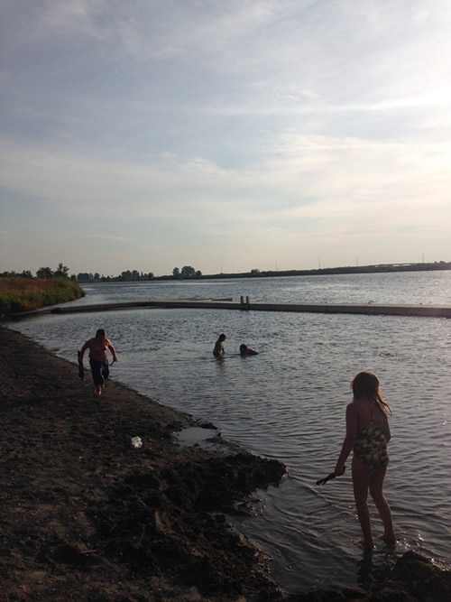
Kids playing in the Snake River. | Snake River Waterkeeper
Snake River Waterkeeper, a 2016 Connecting Communities to Rivers Grantee, has made connecting with and recreating on the Snake River easier and safer for everyone with their Swim Guide App, which can be downloaded for free from the Apple App Store or Android Google Store. The Swim Guide App provides valuable information about river health and safe recreation, ranging from eastern Washington and Oregon across Idaho and into western Wyoming. The free App focuses on areas that are heavily used by swimmers and other river recreation enthusiasts, featuring directions, an “I’m Here!” button to meet up with friends, and identifications of reaches where water is too polluted for swimming.
Water quality data and safety information is continuously updated as it becomes available. This past summer, with the help of nearly 100 volunteers, Snake River Waterkeeper cleaned up river trash and sampled water quality at 110 sites – spanning the full reach of the Snake and its tributaries – to ensure safe river outings for Swim Guide users. Data is under ongoing evaluation to determine water quality trends as well as to substantiate and guide programmatic objectives that are helping improve water, fisheries, and experiences in the Snake River and its myriad tributaries.
The Swim Guide and 2016 monitoring efforts have wrapped up for the year, but if you are interested in volunteering with Snake River Waterkeeper next summer – please let us know! Plans to get out and improve water quality on our rivers next year are already underway!
There’s a bittersweet feeling about the last fishing trip of the season.
On the one hand, there’s the sadness of knowing that I’ll have to wait till springtime to get back on the water. On the other hand, knowing that it’s the last trip lets me look back on some amazing times and look forward to trips next year that I haven’t even planned yet.
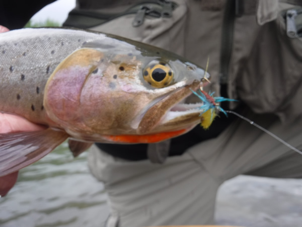
A Greybull cutthroat took the fly tied in American Rivers’ logo colors. | Steve White
Since joining American Rivers, I’ve had the chance to fish on some spectacular streams, and this year’s trips have included several of those. What made these trips even better was being able to fish with some truly wonderful people I’ve met through the Anglers Fund. For starters, there was the Greybull River trip with Jay, one of the most interesting people I know; Paul, whose quiet appreciation of nature is something to learn from; and Greg, who helped us appreciate his home waters. In addition to chasing the Greybull’s beautiful cutthroats, we learned about efforts to bring back the once-thought-to-be-extinct black-footed ferrets, local history with Butch Cassidy, and how grizzlies are expanding their range. We even got a couple cutthroats to take a fly tied in our American Rivers’ logo colors, even though there is nothing in nature that looks like that fly. You’ve got to love cutthroats.
There was the trip to Fish Creek with Dick and Lora, two of the most genuinely nice people you will ever meet. In his mid-80s, Dick is as determined as any teenager to wade out to be within range of rising fish, and his thirst for learning new ways of mending line on the water is inspiring. If I am able to fish half as well as he does when I’m his age, I will have really accomplished something.
And then there was my last trip to the Davidson River with my son Luke and my cousin John a few weeks ago. There’s something special about fishing with family, perhaps because we know that the chances are pretty good that we will go again. The river was low even for this time of year, but the fall colors were brilliant – surrounding us with bright oranges, reds, and yellows. Some of the leaves were still on the trees, some were on the forest floor, and some were collecting in eddies and slower water. It was a perfect fall day, with winter clearly on its way.
As the weather gets colder, I’ll look back over these trips and others, appreciating the opportunities to fish these beautiful rivers with good friends and to learn more about what makes them special. And soon, as winter sets in, I’ll start pulling out maps and guide books, looking forward to the New Year’s fishing. (If you’d like to see the places we go on our Anglers Fund trips, please click here.)
I hope that you’ll enjoy both looking back over your time on the water this past year and looking forward to trips you’ll take next year.
Happy Holidays.
This article was written by Susan Culp, a contractor for American Rivers in the Verde Valley. This article originally appeared on Audubon Arizona’s online Blog. Read the original article here.
The Verde River is one of our last remaining perennial and free-flowing rivers. With a healthy riparian corridor along its length, it is well-known for its importance to a great diversity of resident and migratory birds and other wildlife. The species richness of the region has been recognized by two Important Bird Areas (IBA) already – the Lower Oak Creek IBA near Page Springs and the Tuzigoot IBA that runs along the Verde River through Clarkdale and Cottonwood. However, Camp Verde, with exceptional riparian habitat supporting countless species, remains an under-birded area.

Bird watching on the Verde River. | Wendy Harford
The value of wildlife and the importance of protecting the river and riparian habitat on which it depends was one of the most resounding messages heard from residents during the Town of Camp Verde’s efforts to develop a comprehensive Verde River Recreation Master Plan. The Plan, adopted unanimously by the Town Council in February of 2016, showed wildlife viewing and appreciation as among the area’s most popular recreation activities. An IBA designation along the Verde River in Camp Verde would fit well with community values, add to the area’s bird and wildlife watching opportunities, and support low-impact but economically-valuable recreation and tourism. According to research conducted by Tucson Audubon Society in 2013, watchable wildlife recreation activities contributed over $40 million toward retail sales, $22 million in salary and wages, and supported almost 600 jobs in Yavapai County alone.
In September, Audubon Arizona and Tucson Audubon Society convened a workshop for local stakeholders about the IBA designation process. The event was attended by local conservation groups, public land managers, private landowners, and volunteer birders. The reception was positive and to date over 20 volunteer birders in the region have offered to assist by conducting field surveys to support the IBA application.
The surveys for the IBA application will begin in January 2017, and will be conducted seasonally to coincide with the arrival of spring migrants, summer nesting behavior, and fall migrations. The Camp Verde IBA effort is unique in Arizona – where a community has taken the initiative directly to pursue watchable wildlife opportunities; where residents have expressed keen interest in protecting important riparian wildlife habitat in their neighborhoods; and where local groups, landowners, land managers, and citizens have eagerly volunteered to support the project. American Rivers is working closely with Friends of Verde River Greenway and the Town of Camp Verde to craft the IBA application for submission to Audubon and BirdLife International. The project is also endorsed by the Northern Arizona Audubon Society.
This effort represents a tremendous opportunity for the Town of Camp Verde to support sustainable recreation and economic development while leaving a light footprint on the natural world and reflecting the community’s values.
If you are interested in participating in the survey process, please contact either Susan Culp at sculp@nextwestconsulting.com, who is organizing the IBA application on behalf of American Rivers. There are opportunities for all wildlife lovers to get involved with this exciting project – the more the merrier!
American Rivers supporters know a dam removal is never just about removing a dam.
It’s about restoring habitat within and alongside the river, so wildlife may thrive. It’s about reopening fish passage, creating access to long obstructed spawning, and rearing grounds. It’s about protecting the cultural, tribal, ecological, and recreational values of fisheries. It’s about the economic vitality of communities that rely on recreational tourism, swimming, floating and boating. And it’s about health and safety, removing dangerous obstacles that drown swimmers and boaters, while freeing flows to keep stream temperatures cool and reduce dangerous algal blooms.
There are so many benefits to taking down a dam and restoring a river, but none can be accomplished without community support, a solid plan, and funding. On November 29th, the William and Flora Hewlett Foundation acknowledged this by announcing their Open River Fund, a 10-year, $50 million commitment to “restore river systems and protect priority landscapes in the Western United States.” This new initiative focuses on revitalizing watersheds by removing obsolete, unsafe and unnecessary dams – “deadbeat dams,” in the words of Michael Scott, the Hewlett Foundation’s acting director of environmental programming. The American Society of Civil Engineers reports that more than 4,000 of the nation’s 90,000 dams fit this bill. The Open Rivers Fund will kick off by contributing funds to three dam removal projects that have united communities: the Matilija Dam in Ventura, California, a series of dams and impoundments on the Rogue River system, and the Nelson Dam in Washington’s Yakima River basin.
Nelson Dam
American Rivers has been involved in the Nelson Dam removal discussion for several years, as part of the ongoing Yakima Basin Integrated Plan. Nelson Dam, on the Naches tributary of the Yakima River, was built in the 1920s to divert irrigation water for the City of Yakima and the Naches-Cowiche Irrigation Company. The original structure provided no fish passage and shunted water to its 8,000 users through a series of leaky wood stave pipes. Recent upgrades swapped the diversion to a more efficient system that utilizes just half the historical amount of water, abolishing the need for the eight-foot storage dam.
Yakima County natural resources staff proposed a design that removes the dam and regrades the riverbed, allowing the City of Yakima to divert its water while also permitting sediment transport and fish passage. If done correctly, Nelson could serve as a model for other irrigation diversion dams in the West that block fish and sediment.
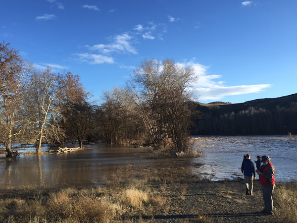
Upstream of Nelson Dam, an intentional levee breach allows floodwaters to slow and spread into sidechannels. | Nicky Pasi
Nelson Dam is also dangerous and damaging. It creates a chokepoint across the Naches River where Highway 12 and a sheer volcanic wall bracket the natural floodplain. Over the past century the dam has held back countless tons of sediment, silt, and gravel, raising the bed of the river enough to ensure the Naches River overflows its banks and threatens the community during even modest floods.
Floodwaters close the highway to emergency services, cut off local residents, and limit access to the nearby Yakima Regional Medical Center. The County and community found themselves trapped in an expensive cycle of building levees, losing those levees to persistent flood impacts, then faced to constantly rebuild and expand those levees. Eventually the County realized that it was cheaper to buy out the most at-risk floodplain properties and allow the river room to maneuver.
Sediment also blocks the fish ladder that was added to the dam in 1985, rendering it useless for much of the year. What was once tremendously productive off-channel habitat for salmon and steelhead has been barely accessible for more than a century. Removing Nelson will restore sediment transport and fish passage, allow whitewater enthusiasts safe passage along the river, reduce the risk of floods, and create cost savings on infrastructure repairs.
Stakeholder Consensus
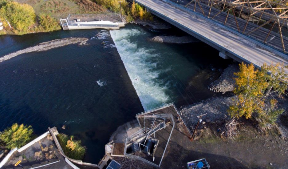
The Nelson Dam is an 8-foot-high diversion dam that sits just upstream of the city of Yakima on the Naches River in Washington. | Justin Clifton
Given its many benefits to multiple stakeholder groups, it’s no surprise that the Nelson Dam removal is a key project of the Yakima Basin Integrated Plan. This watershed-scale resource management plan was created by federal, state, and local government agencies, private water users, environmental partners like American Rivers, Trout Unlimited, and the Wilderness Society, and the Confederated Tribes and Bands of the Yakama Nation. The Yakima Plan has been a tremendously successful collaborative process, and the relationships it created have increased odds of success for individual projects like Nelson Dam.
The Open Rivers Fund will contribute $75,000 toward the reconfigured roughened channel design and the consolidation of two downstream diversions into the existing pipeline. A portion of those funds have been awarded to American Rivers to provide community engagement, outreach and technical assistance.
American Rivers knows that dam removals are never just about the dam. We also know that rivers are our most valuable and vital pieces of infrastructure. Everything – our roads, our railways, our cities – were shaped by rivers, especially in the arid West where 70% of rivers have been dammed or impounded. Letting a river be a river, giving it the space and the freedom to do what a river does, is the best possible use of that infrastructure for all those who rely on its services. It can even cost much, much less than repair and upkeep on dams and levees! We are very pleased and grateful to partner with the Hewlett Foundation through the Open Rivers Fund to allow the Naches its breathing room.
President-elect Donald Trump has named Rep. Ryan Zinke (R-Montana) as his nominee for Secretary of the Interior to oversee management of 500 million acres of federal public lands including national parks, national wildlife refuges, Bureau of Land Management (BLM) lands, and Wild and Scenic rivers.
As a longtime Montana resident and river advocate, I’ve had the opportunity to get to know Rep. Zinke over the past eight years since he first entered the political arena. Here are ten things you need to know about him in order to judge what kind of Secretary of the Interior he is likely to be:
- Rep. Zinke is the first and only Navy Seal ever to have been elected to the U.S. House of Representatives. Over the span of his 23-year career as a Seal, he saw action in Iraq and Afghanistan and rose to the level of commander before retiring in 2008. Want to get on his good side? Ask to see his combat knife collection in his office at 113 Cannon House Office Building.
- Rep. Zinke is a huge fan of former President Teddy Roosevelt, both as a warrior and a conservationist, and he has two framed photos of the original roughrider hanging in his office to prove it.
- Upon retiring from the Navy Seals, Zinke was elected to the Montana Senate and served one term from 2008-2012. While there, he was one of the few Republicans in the legislature to champion a bill that called for development setbacks along many of Montana’s most prized rivers.
- In 2012, Zinke ran unsuccessfully for Lieutenant Governor of Montana on a ticket with Gubernatorial candidate Neil Livingstone, a Washington, DC based security consultant. What will be remembered most from that campaign was the Christmas card sent out by the Livingstone-Zinke team, which featured a dead wolf, Ryan Zinke carrying an assault rifle, and Santa carrying a bag full of jobs in the logging, mining and oil drilling industries.
- While Rep. Zinke strongly opposes the transfer of federal public lands to the states, he supports transferring management of federal lands to the states in some circumstances. In fact, Rep. Zinke voted for a bill sponsored by Rep. Raul Labrador (R-Idaho) that would transfer management of up to four million of acres of federal public lands to states and counties. Under such a scenario, federal environmental laws that protect wildlife, clean water and clean air would not apply to these lands.
- On the issue of permanently reauthorizing the Land and Water Conservation Fund (LWCF), which uses revenue from offshore oil drilling to fund conservation and recreation projects like community parks, Rep. Zinke supports it, although he also supports some reforms to the popular program that make conservationists uneasy.
- When it comes to protecting wild rivers, Rep. Zinke has been a champion for designating East Rosebud Creek as Montana’s first new Wild and Scenic River in 40 years. But when he had the chance to support federal legislation to withdraw 435,000 acres of the North Fork Flathead River watershed along the western border of Glacier National Park from new mining and oil and gas drilling, he never fully supported it because the ban was permanent.
- Rep. Zinke spoke out against mining in the Paradise Valley along the northern boundary of Yellowstone National Park earlier this year, but just this month he indicated his support for building a copper mine in the headwaters of Montana’s legendary Smith River despite the fact that nearly two-thirds of Montana voters oppose it.
- Rep. Zinke vigorously opposed the Obama administration’s efforts to restore protections for headwaters streams and intermittent wetlands under the federal Clean Water Act, and railed against the Clean Power Plan, which aims to curb emissions that cause climate change and harm rivers.
- While Rep. Zinke has said that you can literally see the glaciers in Glacier National Park melting before your eyes, he questions the extent to which humans have played a role in climate change and supports efforts to streamline permitting to allow more coal mining and oil and gas drilling on federal public lands.
So, what kind of Secretary of the Interior will Rep. Ryan Zinke be if he’s confirmed? The answer is – it’s unclear. On some issues (e.g., keeping public lands in public hands and permanently reauthorizing the LWCF), he is likely to be more like Teddy Roosevelt. But on other issues (promoting more fossil fuel extraction on public lands), he could be more like James Watt, the notorious Interior Secretary under President Ronald Reagan. Our job must be to encourage him to be more like the former and less like the latter. Because our outdoor heritage depends on it.
Recreation and eastern Idaho go hand in hand. Residents and visitors alike flock to the area for world class hiking, biking, fishing, and paddling. The Teton Range shines in the distance and the Teton River flows just a short distance from communities like Driggs. But on Teton Creek, whose headwaters start on the west side of the Tetons and flow east through this one-stop-light town, public access and knowledge of the resources unique to this ecologically-rich tributary have typically been limited. This, however, is fortunately about to change.
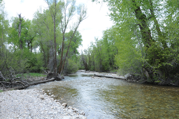
A critical source of water for fish, wildlife and people, Teton Creek is the single most important tributary stream in the upper Teton River watershed. It is also the most impacted. Stream restoration is a key component of the project, with the ultimate goal of re-establishing Teton Creek as a dynamic, functioning stream channel that supports a robust fish, wildlife, and plant community, and mitigates flood risk to nearby property owners. | Friends of the Teton River
This summer Friends of the Teton River, a Connecting Communities to Rivers Grantee, along with local partners Teton Regional Land Trust, Teton Valley Trails and Pathways, Valley Advocates for Responsible Development, and LegacyWorks group, jumpstarted the Teton Creek Corridor Project by securing a 2.5 mile public pathway easement along Teton Creek. This new pathway easement will connect Teton Creek and it’s parallel pathway with trails in Driggs city limit. The project partners worked with willing landowners along the creek corridor to secure their support and protect 289 acres of land from development. The American Rivers grant funding helped the partners purchase a 32-acre property in the corridor that provides a key connection for the completion of the public pathway. The acquired property also came with water rights, giving the project partners an opportunity to use these water rights to benefit both farmers and fish.
The first major benchmark for the project was reached on November 14th, 2016, when Teton County, Idaho Commissioners voted to approve the final connection of the proposed 2.5 mile pathway across the former landfill property adjacent to the creek, extending all the way to Cemetery Road, and accept the public pathway easements granted by private landowners. Once constructed, the pathway will be open to the public and provide a free, safe non-motorized recreational area for local families, with the path’s western end close to Driggs, and its eastern end near other public land access points. The path will be closed in winter, however, to protect local big-game habitat.
This project will not only drastically improve recreation, but it will also conserve and restore stream and wildlife habitat, maintain productive agricultural lands and help landowners be involved with the strong community vision. Friends of the Teton River Executive Director Amy Verbeten notes, “this project is far bigger than the mission and capacity of any one of the partner organizations. By coming together, we were able to accomplish what none of us could have done alone. To me, this project truly embodies the core principals of community conservation.” The Teton Creek Corridor Project will create a safe, family-friendly recreational opportunity easily accessible from Driggs, connecting local families to nature and the valley’s agricultural heritage, and providing economic benefit for the entire community.
The secluded Little Laramie River in Wyoming will blow your mind – as well as your expectations – with many amazing things. Calm sights and sounds seem like there is no city around for 100 miles. If you catch a nice fat rainbow it could mean tomorrow’s breakfast. Meanwhile the small river flows on its way to new places.
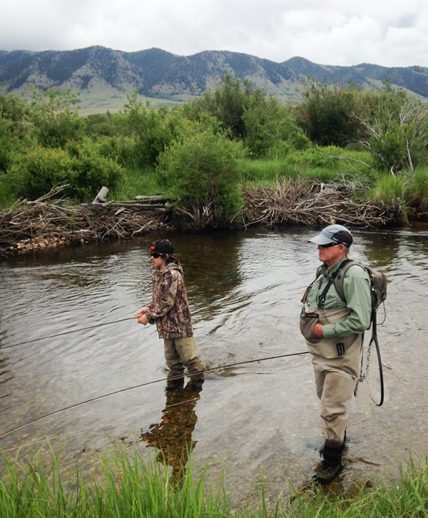
The author plying the waters of the Little Laramie with his grandfather, Gary Butts.
The blue-green river winds every which way like a snake in the woods. There are many green plants lining the long, sandy riverbank. As you walk, you also might hear the loud squawking of a heron or a mud swallow living on the splintering barn wall. The rushing of the chilly river desensitizes you as it moves along without a care in the world.
If you do catch a slippery 8-inch rainbow, it makes an amazing fish breakfast. As you lay the filleted fish into the sizzling bacon grease, it makes an appetizing sound like the snapping of sticks. Afterward, the cooked rainbow will melt in your mouth like butter on a hot sidewalk. The fish also falls apart on your fork. It is a grand feast.
The river casts a refreshing cool inside your waterproof waders. There is a smell of mint and pure air lingering in the afternoon sun. While many anglers spend their days trying to catch a big one, others watch to learn more, or play in the sandy, grainy mud. The rod in your hand is very flexible. You watch your fly mimicking “Rio Grande King” as it floats on the water. BAM! He’s fooled! He took it! The strong tugging is no match for the excitement that you are using to reel in the fish. You take it out of the water – a wild 16-inch brown trout – an amazing catch. You are thrilled. As you take out the hook, the fish wriggles in your hand like a fussy child. As you let it go it swims away fast, wanting to get away from what it has seen.
While many go fishing once in a while to a lake to catch a few small ones here and there, the Little Laramie blows that out of the water. Once you fish there you’ll want to stay forever. All in all, the amazing sights and sounds, the lucidity, and the world class fishing make the Little Laramie one of the best places to make a summer vacation.
 Garrett Hayden is an avid 12-year old angler, with a passion for wild fish in even wilder streams. Garrett attends Sargent junior high in Monte Vista, Colorado, and when he’s not in school or dreaming of his next big adventure, he is either playing hockey, football, out snowboarding, or crafting his next tremendous collection of short stories. Look for more from this young man in the coming years!
This guest post by Duwamish River Cleanup Coalition/Technical Advisory Group (DRCC/TAG) is a part of our America’s Most Endangered Rivers® series spotlighting the Green-Duwamish River.
The Duwamish River used to be a meandering river that was a natural home to people and wildlife for thousands of years. In 1913, this river was literally moved in a dramatic way.
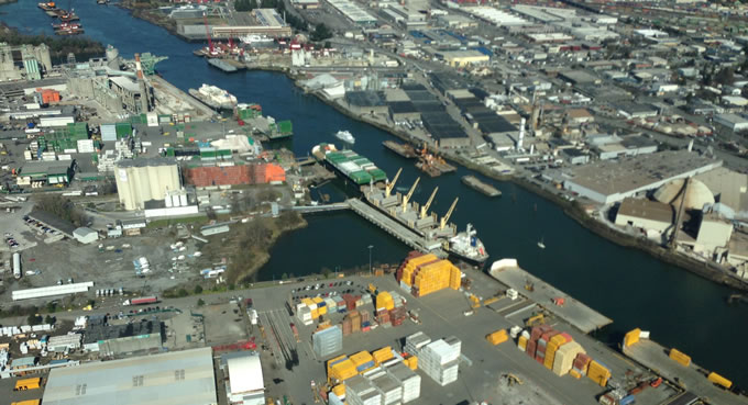
Duwamish River, Seattle | Rick Gordon
With a goal of drawing industry to its shores, the decision was made to straighten the Duwamish River into an industrial waterway, shifting a 12-mile meandering river into five relatively straight miles. This move had dramatic implications for the future of our city, our wildlife, and the health of the communities around the river.
This massive project did have the positive impact it intended, ensuring Seattle became an economic leader on the West Coast. Today, this river directly provides over 80,000 jobs. However, the project also had a significant negative impact on our environment, fish, and wildlife. The straightening and industrialization of the river resulted in a legacy of health and pollution problems, including the elimination of the filtrating effects of intertidal areas.
Cleaning Up the River
Unfortunately, the Duwamish River is now categorized as one of the most polluted areas in the nation – a Superfund site. This label is a designation for which the community and river advocates fought. It means the work can begin to address the pollution in the Duwamish River. While the Record of Decision – the plan for how much and where to cleanup – is now complete, there is still a need to design the actual cleanup plans, including the technology used, the construction truck routes, and much more.
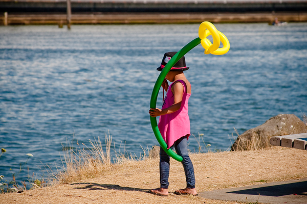
A child enjoys the Duwamish River Festival. | Robyn Turner
Stakeholders affected by the long-term pollution of the Duwamish River founded the Duwamish River Cleanup Coalition (DRCC) in 2001 to serve as the official community advisory group to the Environmental Protection Agency (EPA). Over the past 15 years, DRCC and our partners have pushed the EPA and the responsible parties to engage our communities in a way that is accessible, engaging, and culturally appropriate. With the community engaged and empowered, cleanup plans are stronger and more effective. We are working for a cleanup of the Duwamish River that benefits all – wildlife, community, fishers, workers, and those responsible for cleaning it up.
One result of these efforts has been the cleanup of one of the most polluted reaches of the Green-Duwamish River, Terminal 117 or T-117, to residential safety standards. T-117 was designated as an Early Action Area because it was so polluted it required cleanup action before the final cleanup plans for the Duwamish River were released. Original plans were to bring T-117 up to industrial standards, leaving much of the pollution in the ground and closing it off for any future public use. Nearby residents organized with DRCC to oppose this weak cleanup plan and fight to gain public access to the river. Today, this site is cleaned up and there are plans to enhance habitat at T-117 and provide public access; an incredible achievement in a place that was previously considered too toxic for people to enjoy.
Engaging Local Communities
It is essential to continue to actively engage communities for the health of the Duwamish River, the fish that swim in it, and the communities that live and work on its banks. In the coming years, fishing on the Lower Duwamish River for cultural, subsistence, and recreational purposes will continue and the health of those who consume fish other than salmon will be at risk. Efforts to work with fishers to reduce their family’s exposure to these risks are underway, but more must be done to spread the word.
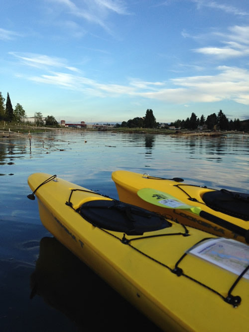
Kayaks on the Duwamish River. | King County Natural Resources and Parks
Communities in the Duwamish Valley also face challenges from the cumulative impacts of industrial air pollution, pollution from trucks and highway traffic, limited economic opportunity, and lack of parks and open space. Life expectancy for people living in this area is eight years lower than King County and City of Seattle averages.
The role of DRCC and our partners is to ensure communities are actively engaged and informed in the process of cleaning up these polluted sites. The communities most impacted by these inequities must be at the negotiating table to determine how we move forward. Together, organizations, agencies, and communities can restore the health of this watershed.
The wealth of Seattle was built on the back of this river. It is time to balance our weight and influence and create “A River For All” – not just for industry, but also for river communities, fish, and wildlife. The leadership in Seattle and King County will be followed by the rest of Puget Sound. It is time to prosper in new ways that will make our region an example for new and innovative ways to flourish.
 Duwamish River Cleanup Coalition /Technical Advisory Group (DRCC/TAG) is a non-profit organization involved in all aspects of the cleanup of the Duwamish River, working to ensure the cleanup meets community standards by restoring environmental health and protecting the fishers and families who use the river, as well as reflecting the priorities, values and will of the people who live and work in the region.
American Rivers applauds the Obama Administration’s Department of Interior and Department of Agriculture for denying two hardrock mining leases that could have had a major impact on the health of the rivers, fish and wildlife of the Boundary Waters Canoe Area Wilderness. In 2013, American Rivers included the Boundary Waters on our list of America’s Most Endangered Rivers® due to the threat that this sulfide-ore mining project posed to not only this wild place and its inhabitants but also the nearly $45 million recreation economy on which this region depends.
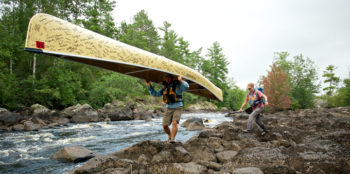
Dave and Amy Freeman’s 2014 canoe petition of sulfide-ore copper mining in the Boundary Waters. | Nate Ptacek
American Rivers and our partners are grateful to the thousands of you who signed letters and petitions over the past three years to help us achieve this victory! Through the steadfast persistence of the Campaign to Save the Boundary Waters and all of their partner groups, the Boundary Waters and its pristine rivers, abundant fish and wildlife and world-class recreation opportunities are one step closer to being protected for future generations.
“There’s a reason that the Boundary Waters is one of the most visited wilderness areas in America: it’s an incredible place,” said U.S. Secretary of the Interior Sally Jewell. “Today’s best available science is helping us understand the value of the land and water and potential impacts of development in places like the Boundary Waters. This is the right action to take to avoid irrevocably damaging this watershed and its recreation-based economy, while also taking the time and space to review whether to further protect the area from all new mining.”
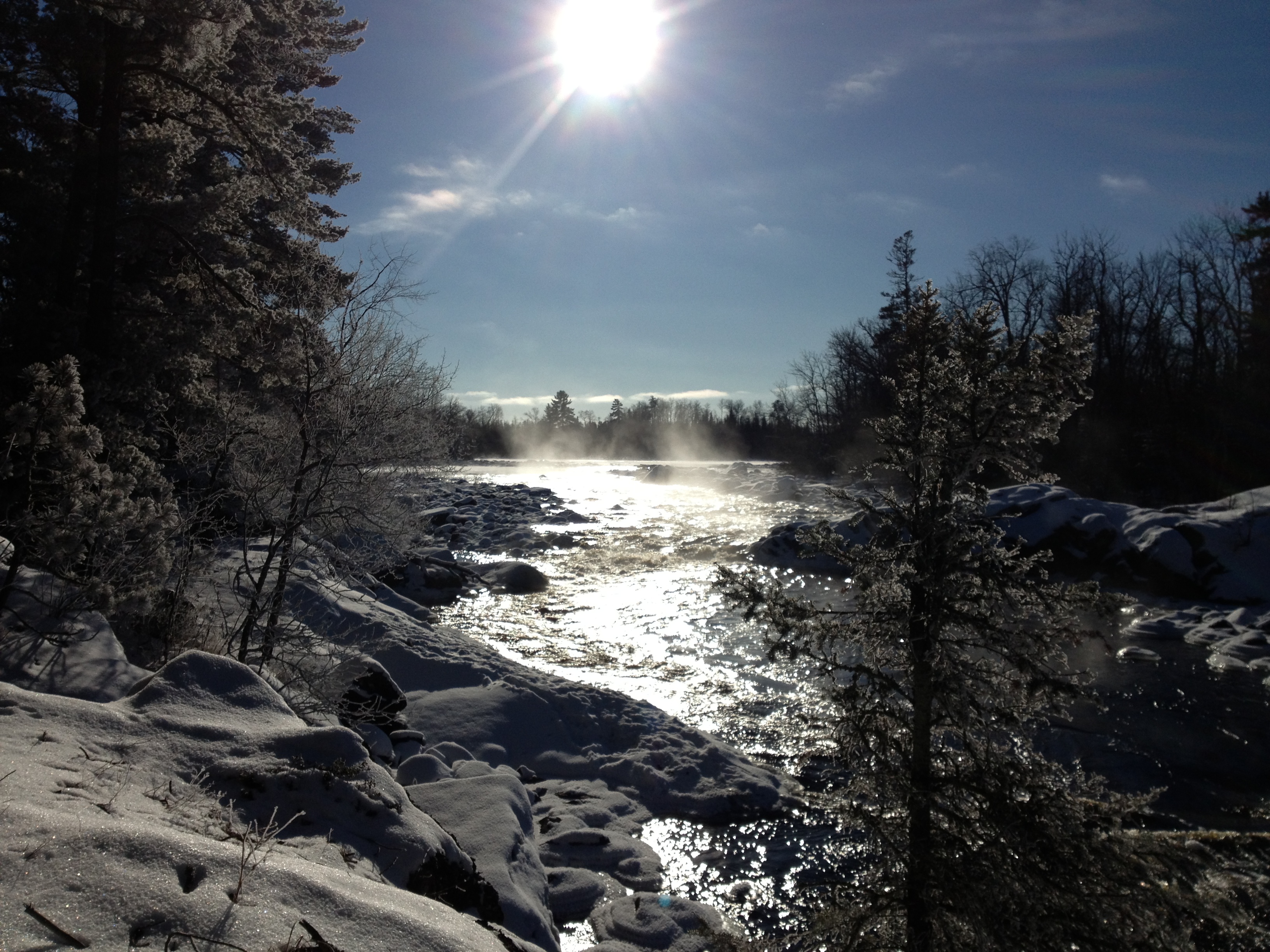
South Kawishiwi River, a tributary to the Boundary Waters. | Joel Zylka
In citing their reasons for the permit denial, the Department of Interior states, “It is well established that acid mine drainage is a significant environmental risk at sulfide ore mine sites like the one proposed for these leased lands and in a water-based ecosystem like the Boundary Waters because contaminated water could have dramatic impacts to aquatic life, sport fisheries, and recreation-based uses and communities.”
In addition to denying the mining leases, the U.S. Forest Service has submitted an application to the Secretary of the Interior to withdraw from mining key portions of the watershed that flow into the Boundary Waters Canoe Area Wilderness. Essentially, this process would allow for two years of study and public outreach and comment on the potential 20 year withdrawal from mining. This 20 year withdrawal is the maximum allowed by the Department of Interior. A permanent withdrawal from mining would have to be passed by Congress.
There will be a public comment period to start off this mining segregation study, so expect to hear more about this from us in the future. In the meantime, we celebrate this victory!
On Saturday, April 30, 2016, a group of 3,000 volunteers came together at the 17th Annual Earth Day Charles River Cleanup just outside Boston, Massachusetts to remove 6,000 pounds of trash. One day before that, Keith, a father in Mahopac, New York went on his own to a tiny tributary of the Hudson River and pulled out five pounds of trash. These events, while vastly different in size and nature, were both an integral part of National River Cleanup®.
From Ferndale, Washington to Fort Myers, Florida, individuals and communities helped American Rivers celebrate the 25th anniversary of National River Cleanup® this year. Over 53,000 volunteers removed more than 3.4 million pounds of trash from nearly 2,000 cleanup sites, and individuals across the country helped keep over 31,000 pieces of garbage and debris out of our waterways.
While impressive, these stats don’t fully recognize the effort put in by individuals and groups on the ground. Without cleanup organizers and their dedicated volunteers, we’d be left with millions of pounds of trash still in our rivers.
To honor our river stewards, and to celebrate the 25th anniversary of National River Cleanup®, we are formally recognizing these River Heroes’ accomplishments in a few fields:
- Most River Miles Cleaned
- Most Pounds of Trash Collected
- Most Volunteers Mobilized
- Tiniest but Mightiest
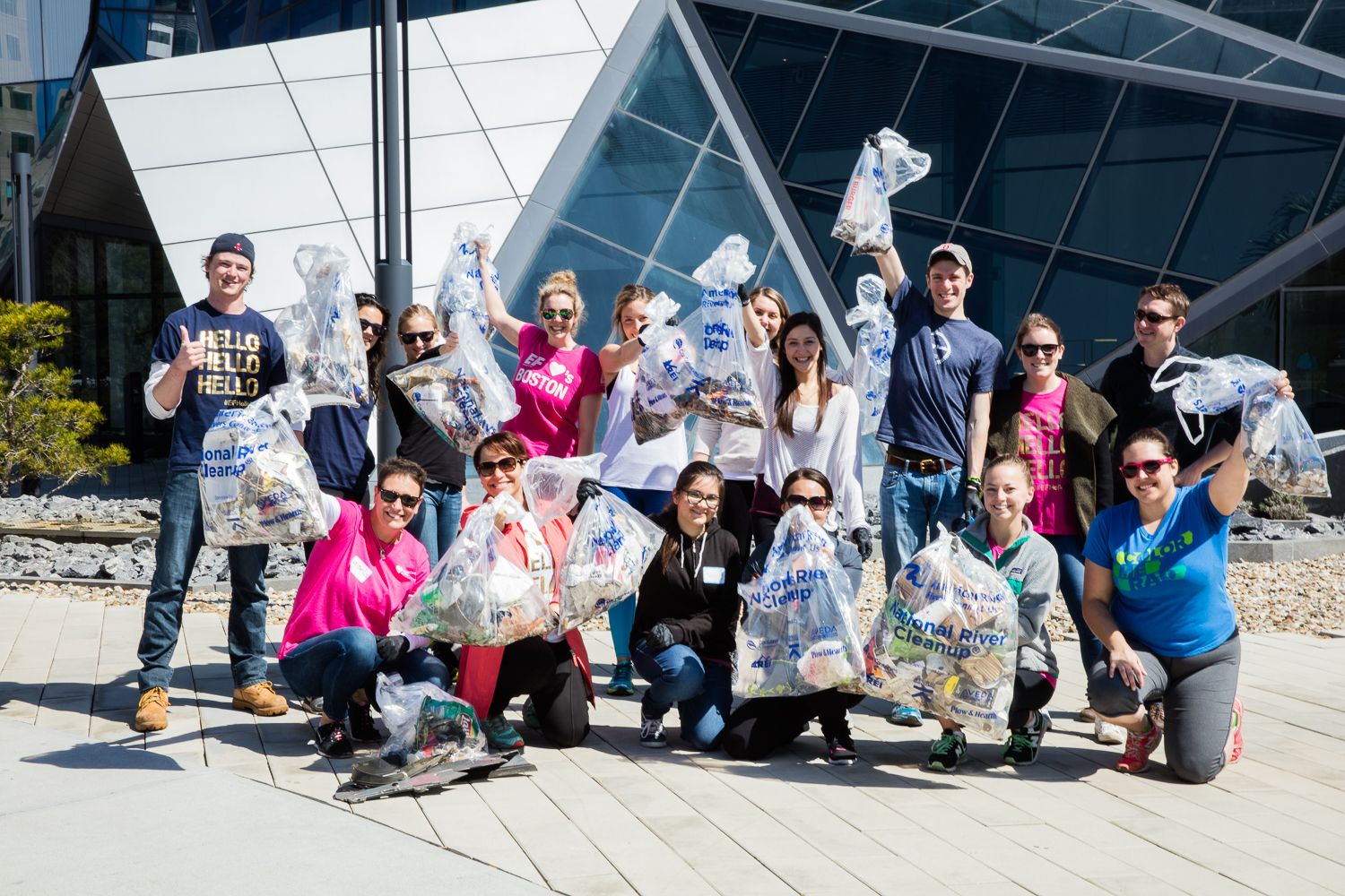
Volunteers with the 17th Annual Earth Day Charles River Cleanup showing off their finds. | Katie Friedman
To be sure that we acknowledge cleanups of all sizes, we are recognizing the leader in each category above for big (cleanups with 10+ sites) and mid-sized (fewer than 10 sites) cleanups. The Tiniest but Mightiest award is for individuals or groups of fewer than 10 people who have picked up over 100 pounds of trash per person. So without further ado, the National River Cleanup® 25th Anniversary River Heroes are:
Most River Miles Cleaned
Large cleanup: Arkansas Headwaters Recreation Area’s Arkansas River Cleanup/Greenup — 100 miles
Mid-sizes cleanup: Northern Illinois Anglers Association’s Kankakee Iroquois River Cleanup — 110 miles
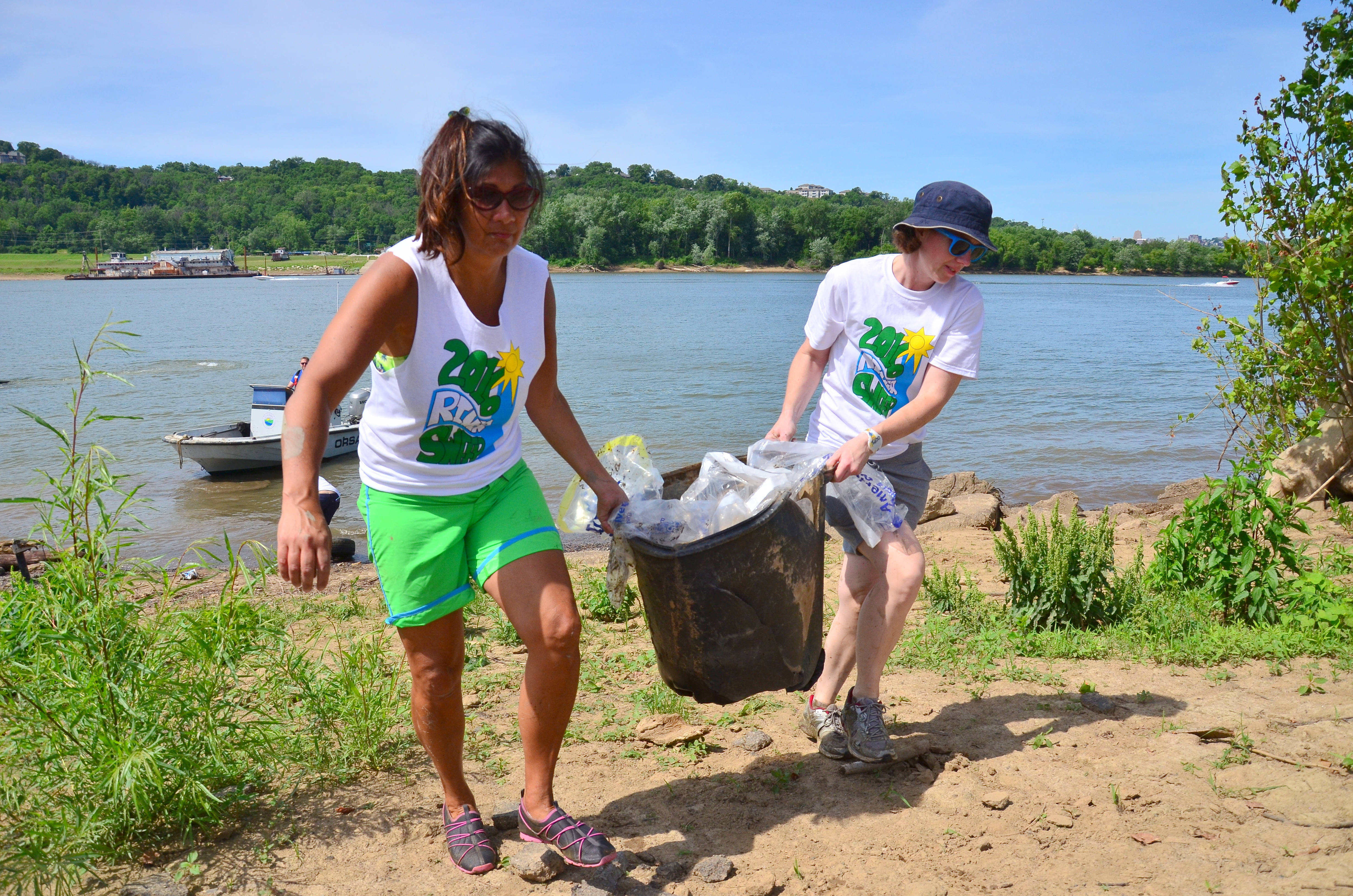
Teamwork was key to pulling 1 million pounds of trash out of the river at the Ohio River Sweep. | Lisa Cochran
Most Pounds of Trash Collected
Large cleanup: ORSANCO’s Ohio River Sweep — 1 million pounds
Mid-sized cleanup: LoCo ‘Yaks’ 4th Annual Black River Clean-up — 36,756 pounds
Most Volunteers Mobilized
Large cleanup: Charles River Watershed Association’s 17th Annual Earth Day Charles River Cleanup — 3,000 volunteers
Mid-sized cleanup: The City of Wichita’s 15th Annual Arkansas River Trash Roundup — 1,310 volunteers
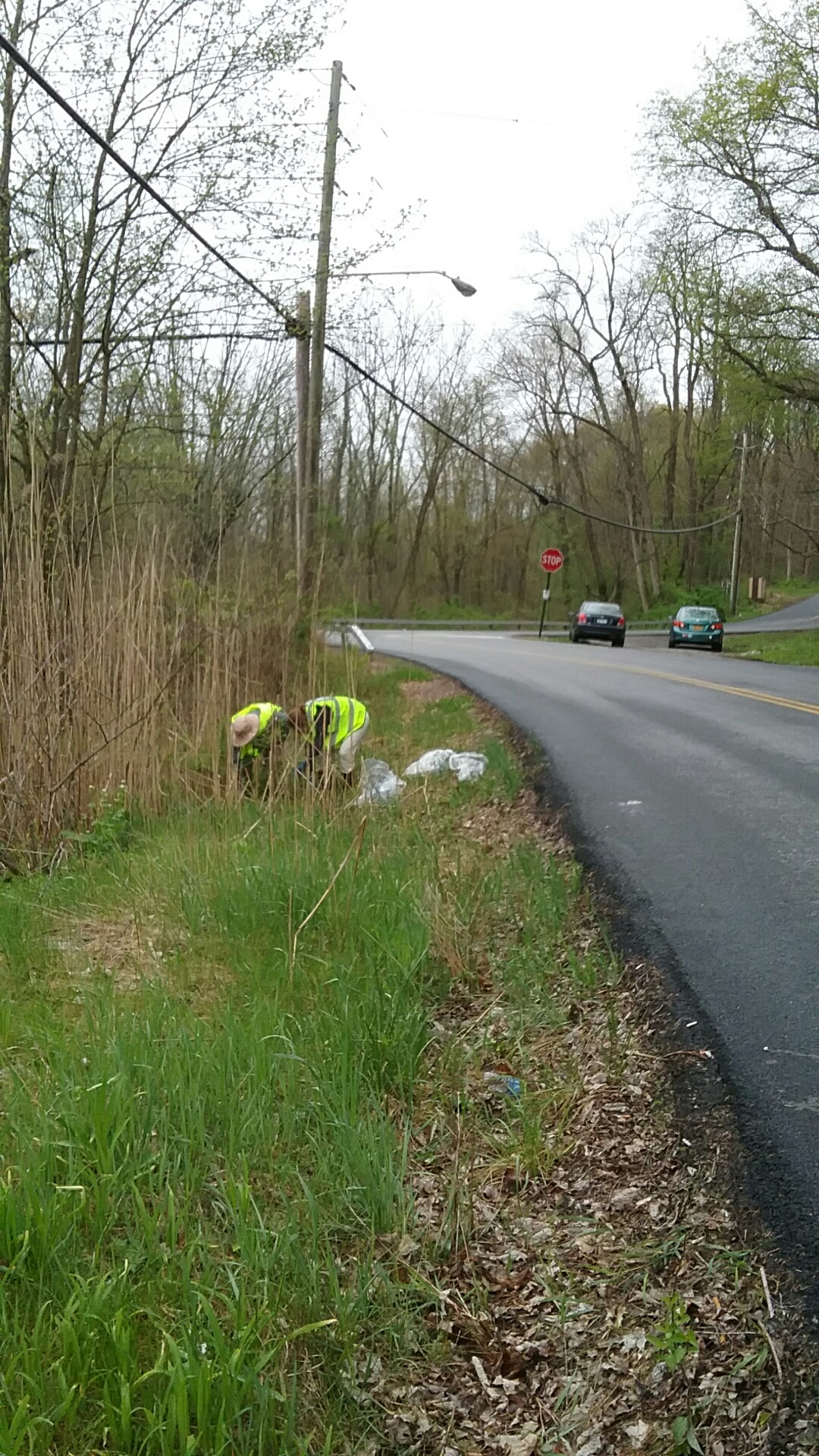
Keith Cox and his small volunteer group didn’t have to look far to find trash in their neighborhood. | Keith Cox
Tiniest but Mightiest
Keith Cox, along with a small group of no more than 7 volunteers, hauled 875 pounds of trash out of tributaries to the Hudson River during 2016
Lindsey Wight, with a group of 9 volunteers, hauled 1,400 pounds of trash from the Missisquoi River during one cleanup event
Honorable Mention
You can also check out our list of National River Cleanup® 25th Anniversary Heroes here. In addition to congratulating these organizers, we’d like to give honorable mentions to several others whose cleanup efforts went above and beyond.
Most River Miles Cleaned
- ORSANCO’s Ohio River Sweep – 3,000 miles
- Waccamaw Riverkeeper’s Cleanup Our Local Waterways – 80 miles
- The Upper Chattahoochee Chapter of Trout Unlimited with the Riverkeeper’s Sweep the Hooch – 70 miles
- Kittatinny Canoes’ 27th Annual River Cleanup – 70 miles
Most Pounds of Trash Collected
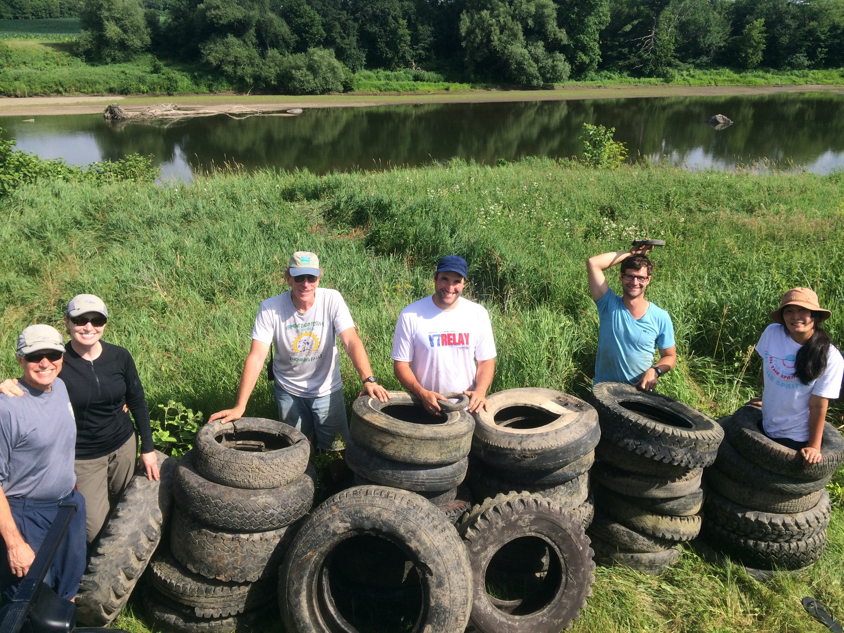
The Missisquoi River Basin Association’s tiny cleanup group more than pulled their own weight in tires. | Lindsey Wight
- Allegheny Aquatic Alliance’s Connoquenessing Creek Cleanup – 72,565 pounds
- Northern Illinois Anglers Associations’ Kankakee Iroquois River Cleanup – 50,000 pounds
- James River Advisory Council’s James River Regional Cleanup – 38,520 pounds
- The Upper Chattahoochee Chapter of Trout Unlimited with the Riverkeeper’s Sweep the Hooch – 30,800 pounds
Most Volunteers Mobilized
- Fountain Creek Watershed District’s Creek Week – 2,500 volunteers
- Santa Fe Watershed Association’s River Cleanups – 1,359 volunteers
- Raritan Headwaters Association’s Annual Stream Cleanup – 1,347 volunteers
- County of Volusia’s 20th Annual St. John’s River Clean-up – 678 volunteers
Tiniest but Mightiest
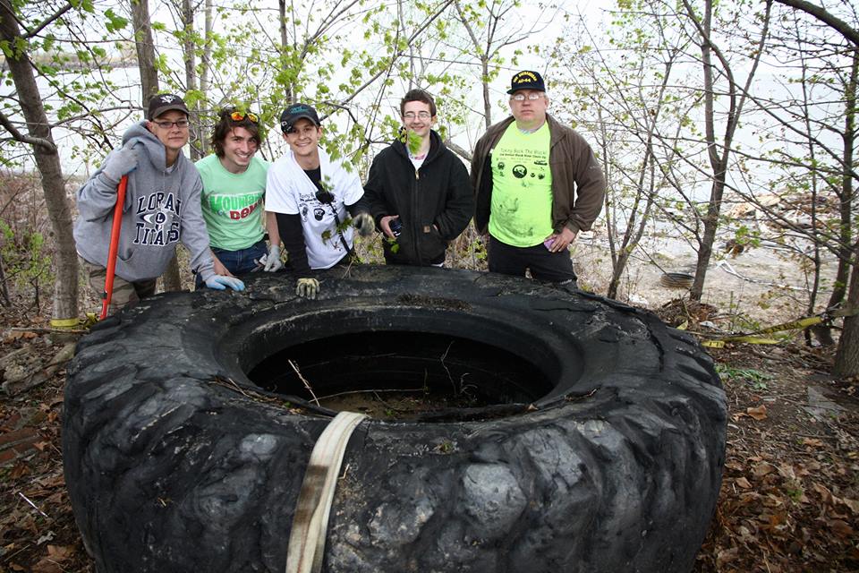
Volunteers show off their big find at the 4th Annual Black River Clean-up. | Stephanee Moore Koscho
Brad DeArk and the Prairie State Canoeists’ 4 volunteers pulled 500 pounds of trash out of the river during the Fox River Sweep.
It goes without saying that National River Cleanup® wouldn’t exist without the organizers listed above and hundreds of others who register with us each year. Because of these organizers and their deeply-valued volunteers, we are able to work toward a future of trash-free rivers, creeks, and streams.
While the country is easing into the holiday season and all eyes are on President-elect Trump’s latest Cabinet picks, there is still much going on around one of our favorite National Parks. You may recall that in 2015, along with our local partners Save the Confluence and Grand Canyon Trust, American Rivers named the Colorado River in the Grand Canyon as America’s Most Endangered River. And while some progress toward protecting the Grand Canyon came quickly, other issues have lingered and require constant vigilance. Here is a roundup of 5 recent news items coming out of the Grand Canyon.
Havasupai sue 19 nearby well holders
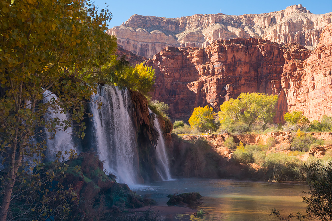
Waterfalls near Havasupai in Grand Canyon. | Meredith Meeks
As Emery Cowan reports in this piece, the Havasupai tribe in western Grand Canyon has filed a lawsuit in federal court over groundwater pumping along the South Rim. Defendants in the suit include the town of Williams, Arizona as well as Energy Fuels Resources (owner of Canyon Uranium Mine south of Tusayan) and numerous property development companies in the area. The tribe asserts that the widespread pumping of groundwater is damaging its federal water rights and reducing flows to seeps, springs, and waterfalls within the Canyon. American Rivers created a short video in early 2016 that spoke to this very issue through the eyes of three local artists.
Navajo Council schedules next Escalade hearing, then cancels
The next step in the journey of the Grand Canyon Escalade legislation before the Navajo Council is a hearing before the Council’s Resources Committee. After the legislation was introduced before the Navajo Council around Labor Day, the bill must then be considered by 5 different sub-committees, before returning before the Council for a full vote. The bill received a vote before the Law and Order committee on October 10 – unanimously against the bill, 5-0. The bill was then moved to a “work session” in November, where the bill’s proponents discussed details of the proposal. Next, the bill goes before the Resources committee, which had scheduled a meeting for December 13th at Bodaway-Gap, but that meeting has been cancelled. Stay tuned!
Incoming local chapter President speaks out against Escalade
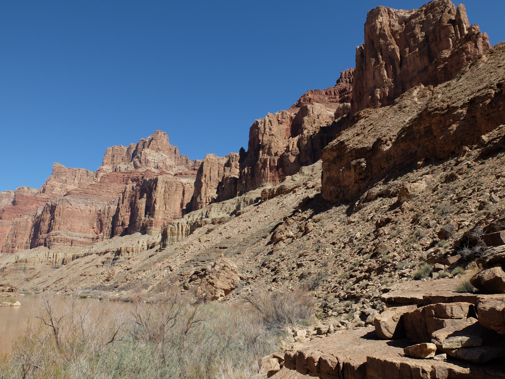
Grand Canyon Escalade site, as seen from the Colorado River in Grand Canyon National Park. | Sinjin Eberle
In a December 6 Letter to the Editor, incoming Bodaway-Gap Chapter President Raymond Don Yellowman states his strong opposition to the proposed gondola project. Mr. Yellowman lays out a long set of very personal experiences about the struggles of people in the western Navajo Nation, including the Bennett Freeze, coal and uranium mining, and development threats. He states very strongly that the Escalade proposal has deeply divided the community, and is not a solution that the Navajo Council should approve.
Robert Redford speaks out too!
Actor and activist Robert Redford recently went public in support of the people most closely connected to the Escalade project, the Navajo families of Save the Confluence. In his short video, Redford asks “Are we close, to losing the Grand Canyon?” I think we can all agree that the risks to the Grand Canyon are many, and the Escalade project certainly tops the list. Take a look.
And on a lighter note – two friends of American Rivers walk the canyon
Photographer and film maker Pete McBride and writer Kevin Fedarko recently completed their journey to walk the length of the Grand Canyon – nearly 800 miles end-to-end. McBride fully completed what is known as a “sectional through-hike,” being the 34th person to traverse the entire length of the canyon, in sections, from Lee’s Ferry to the Grand Wash Cliffs. Kevin Fedarko, author of the book The Emerald Mile, chose to leave a small section of the through-hike unfinished, as he wanted to illustrate the grandeur of the canyon and the issues that threaten it, over listing it as a milestone. The walk was supported by the National Geographic Society (and a community of Grand Canyon hikers) and the pair have been nominated for Adventurers of the Year.
Stay tuned for more Grand Canyon updates as they happen!
President-elect Donald Trump is expected to appoint Cathy McMorris Rodgers (R-Wash.) as Secretary of the Interior. The agency oversees conservation and management of thousands of miles of rivers and 500 million acres of public lands including National Parks, Forests, Wildlife Refuges and the National Wild and Scenic Rivers System.
McMorris Rodgers is the U.S. Representative for Washington’s 5th congressional district, which includes Spokane and the eastern third of the state.
Bob Irvin, President of American Rivers, said that her nomination for Secretary of the Interior “raises concerns about what kind of Interior Secretary she will be and her commitment to conserving our rivers, clean water supplies, wild salmon and our nation’s priceless natural heritage.”
McMorris Rodgers has been a vocal opponent of the effort to remove four dams on the lower Snake River to restore endangered wild salmon runs – an action scientists say is needed to save the economically and culturally valuable fish from extinction.
In addition, she has championed the effort over the past two years to roll back critical protections at hydropower dams, “weakening safeguards for clean water, fish and wildlife and public lands, and undermining the protection of tribal lands in hydroelectric dam relicensing proceedings,” Irvin said.
By contrast, in 2013 Rep. McMorris Rodgers worked with American Rivers on successful legislation to promote hydropower without undermining bedrock environmental laws like the Clean Water Act.
“We hope that, if confirmed as Interior Secretary, she will return to that approach and work for the conservation interests of the American people, not just the interests of large energy companies,” said Irvin.
Given the Department of the Interior’s role in managing public lands, rivers and water supplies, there is a lot at stake for the mainstream conservation values Americans hold dear.
“Important river restoration and water supply agreements such as those on the Klamath, San Joaquin, and Colorado are at stake, along with the health of thousands of miles of rivers and streams nationwide,” Irvin said.
“With drought gripping western states, wild salmon runs on the brink of extinction in the Columbia and Snake rivers, and climate change threatening local communities and economies nationwide, we need a Secretary of the Interior who will prioritize restoration, protection and stewardship of our nation’s natural resources.”
“Our rivers and public lands are vital to the health and well-being of our nation. They provide clean drinking water sources for downstream communities, economic engines for local businesses, and backyard escapes for families to experience the joy of the outdoors.”
The 50th anniversary of the Wild and Scenic Rivers Act approaching in 2018 is bringing heightened focus to the importance of free-flowing, wild rivers to communities nationwide. American Rivers will launch a campaign in early 2017 to protect 5000 new miles of Wild and Scenic Rivers.
“We are committed to defending our nation’s free-flowing, wild rivers from unfettered oil and gas development, mining, and new dams and diversions,” Irvin said.
“We hope that the Senate will carefully scrutinize Rep. McMorris Rodgers’s record on clean water, public lands, fish and wildlife, climate change, and other environmental issues in deciding whether to confirm her to lead the Department of the Interior.”