Recently, Gov. Jerry Brown and the Legislature announced a $1.1 billion drought relief plan for California. But the $660 million allocated for flood management had many observers scratching their heads. We believe that this money could actually enhance water supply, but only if we rethink the flood system.
The governor is absolutely right to be thinking ahead about floods. The epic 10-year Australian drought ended with the two biggest flood years on record. Climate-change predictions of more frequent “pineapple express” storms underscore this threat to California.
But what does this have to do with drought?
Nothing, if the $660 million is spent on traditional flood control projects to harden riverbanks with rock and raise levees. These 19th century-inspired projects are not only bad for the environment, but in too many cases they actually increase flood risk and degrade water quality by encouraging development in floodplains. They also starve salmon and other fish that once grew big on the river’s natural floodplain. It’s no wonder that some of these fish are hovering on the brink of extinction.
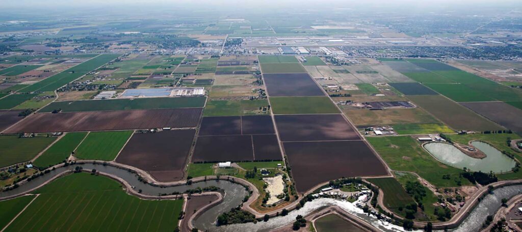
California’s flood management system was conceived more than 150 years ago for a very different state and climate. The levees were originally located close to the riverbank to flush Gold Rush mining debris out of clogged channels and to ease the way for riverboats. Now, we are forced to manage Central Valley water resources within the constraints of more than 1,000 miles of aging, poorly engineered levees designed for antiquated purposes.
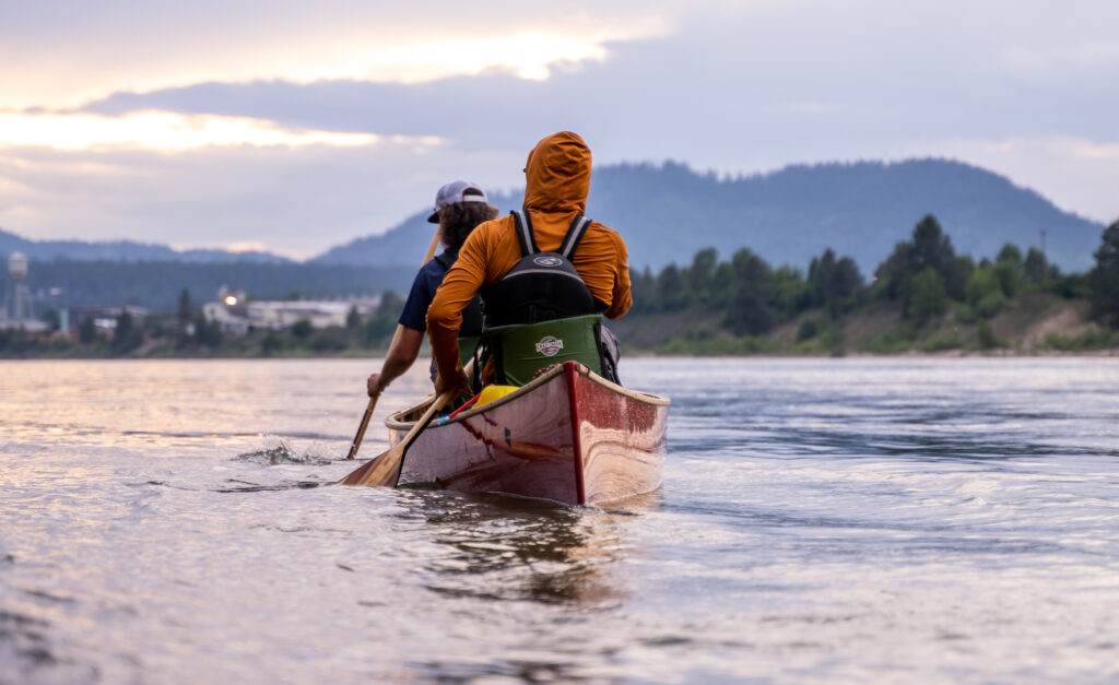
With the governor’s leadership, however, California is now poised to invest in a new kind of flood management that will protect public safety, prepare the state for future droughts, restore salmon runs and even provide new opportunities for public recreation.
The key concept is “multi-benefit flood management projects.” A typical one would set a levee back from the river’s edge, or widen a bypass to allow high water to spread out on the adjacent floodplain.
Perhaps the best local examples are proposals to expand the Yolo and Sacramento bypasses and to set back levees along the Sacramento River in West Sacramento. Both projects expand areas that can be safely flooded while creating critically needed habitat and recreational opportunities. We know of many other similar “shovel-ready” projects.
This approach is clearly good for flood protection because it steers dangerous waters away from cities and relieves the pressure on aging levees. It’s also good for salmon and waterfowl.
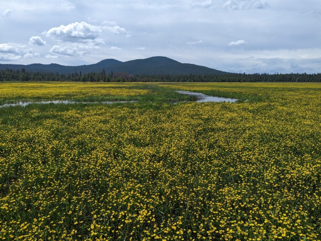
It also increases the water supply. Widening floodplains increases floodwater retention and replenishes underground aquifers, particularly important in the San Joaquin Valley where groundwater levels are plummeting. Capturing floodwater during wet years to recharge depleted aquifers, as nature once did, is one of the best tools we have to ensure adequate groundwater reserves during droughts.
Expanding floodplains also allows more water storage in our reservoirs. Now, flood managers must keep a portion of our extensive reservoir system empty to capture storm flows. In late 2012, only months before the driest calendar year on record, managers were forced to release hundreds of thousands of acre-feet of water to maintain a “flood reservation” behind large dams. More downstream floodplains would allow dam operators to retain more water behind the dams, resulting in more water for our use.
Certainly, some levee work is still needed to protect vulnerable urban areas, such as finishing the levees ringing Natomas and improving levees adjoining Land Park and the Pocket. But the old levee system is inefficient and outdated.
We need to modernize our infrastructure and our thinking. One very good way is by investing bond money in multi-benefit flood projects that create more water supplies and habitat while improving flood safety.


1 response to “With New Thinking, Flood Control Projects can Ease Drought”
Very good! New thinking about disaster managment (flood) is to leave the water to expand. the floodplain is naturally the space for the river to innundate the land without risk to the safety of the population at condition to avoid to build the urbanism (housing, road…)