Escalante River
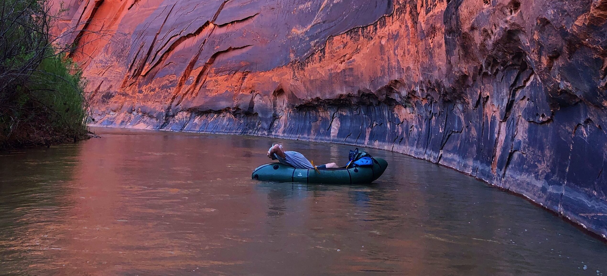
The Escalante River rivals the Paria for the steep and varnished canyon it winds its way through. Cottonwoods and hanging vines wedge themselves against canyon walls. The Escalante River is remote and rugged, its flows perennial and vital in an arid landscape.
When the first Anglos, members of the Church of Jesus Christ of Latter-day Saints, entered the valley, they were struck by the bounty of wild potatoes growing there, and deemed it “potato valley”. It was more romantically named during Powell’s 1872 survey expedition in honor of Silvestre Vélez de Escalante—who led the 1776 Dominquez-Escalante Expedition.
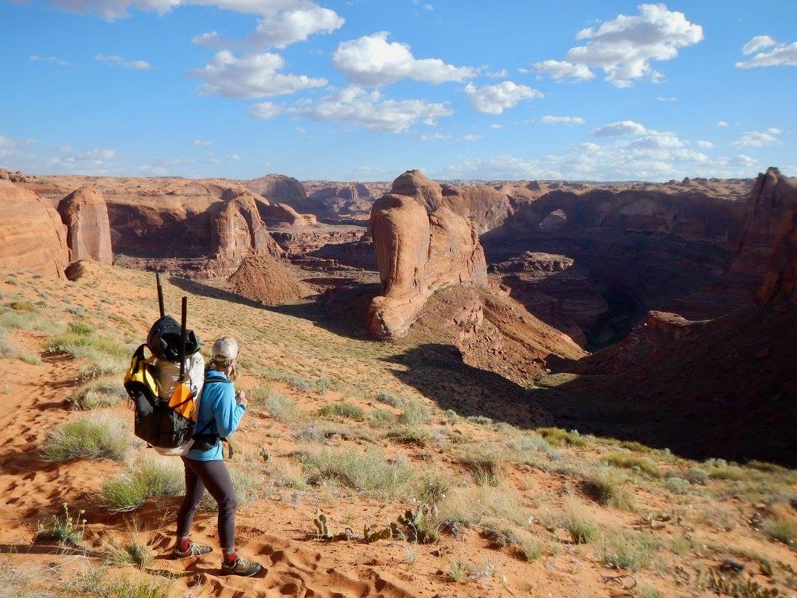
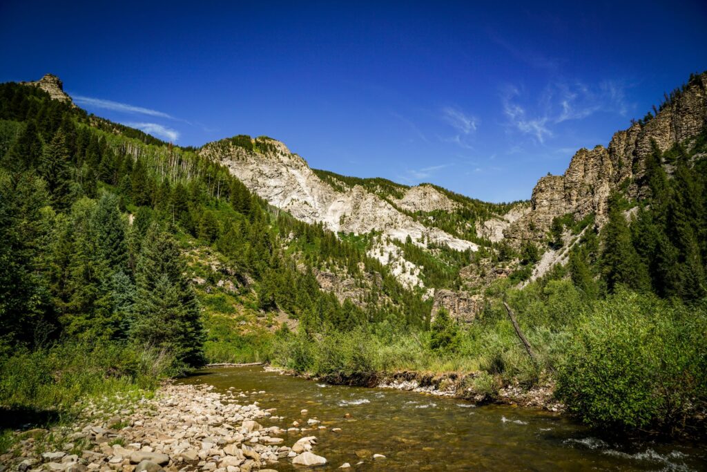
Upper Valley and Birch Creeks collide to form the Escalante, near its namesake town in south-central Utah. Atop the Aquarius Plateau, the headwaters cut through high alpine spruce forests before descending into old-growth ponderosa, pine, and aspen. At this high end of its reach, the Escalante provides critical habitat for mule deer, upon which the resident bear and mountain lion populations rely. The river carves its way off the plateau through a canyon with walls that reach nearly 1,100 feet in places.
The ephemerality of paddleable flows demands the same of those desiring to float it. Harry Aleson and Georgie Clark were the first, on record, to manage a trying float through the river’s canyon, timing their epic journey with the unpredictable spring and summer flows fed by early season runoff and monsoons.
Rated Class II overall, the Escalante can be deceiving. Aside from the fact that it’s nowhere near any beaten bath, there are a lot of variables: debris carried on flood waters can create strainers that require portages, floods themselves are a major risk, and there are few exits. For both the Escalante and the Paria, and as is the nature of so many desert rivers, the window to run is short, unpredictable, and unparalleled in humbling and spectacular scenery, and true adventure. During low flows, the canyon-carved river and its critical tributaries offer unmatched hiking and backpacking.
Did You know?
The Escalante River was one of the last sizable rivers to be discovered in the contiguous US.
During peak runoff, the Escalante can be as much as 100 bigger than the flows it maintains the rest of the year.
The Escalante River basin provides critical habitat and resources for nearly 300 species of birds, fish, mammals, reptiles, and amphibians.
What states does the river cross?
Utah
how can I help?
Stay informed with what is going on with rivers across the Southwest by following our Southwest River Protection Program.
Tell the Trump Administration to retain and support the Waters of the United States rule under the Clean Water Act. Take action here.
Let's stay in touch!
We’re hard at work in the Southwest for rivers and clean water. Sign up to get the most important news affecting your water and rivers delivered right to your inbox.
It is this—the river’s spectacular beauty, the habitat it provides, the adventure it inspires—that make the Escalante so vital to the Southwest. Though the Escalante River has been identified for Wild & Scenic protections by the National Park Service and various non-profits, this rare river is threatened by mining claims, impacts of climate change, and development. Constant threats including reductions to the size of Grand Staircase Escalante National Monument further imperil the rare intactness of this fragile desert ecosystem. For decades, volunteers have spent millions of dollars and countless hours to remove nonnative species and improve the river’s habitat and condition, but proposed management changes invite devastating impacts from increased grazing, mining, and oil and gas drilling, and erosion from OHV use that would directly impact water resources.