Chauga River
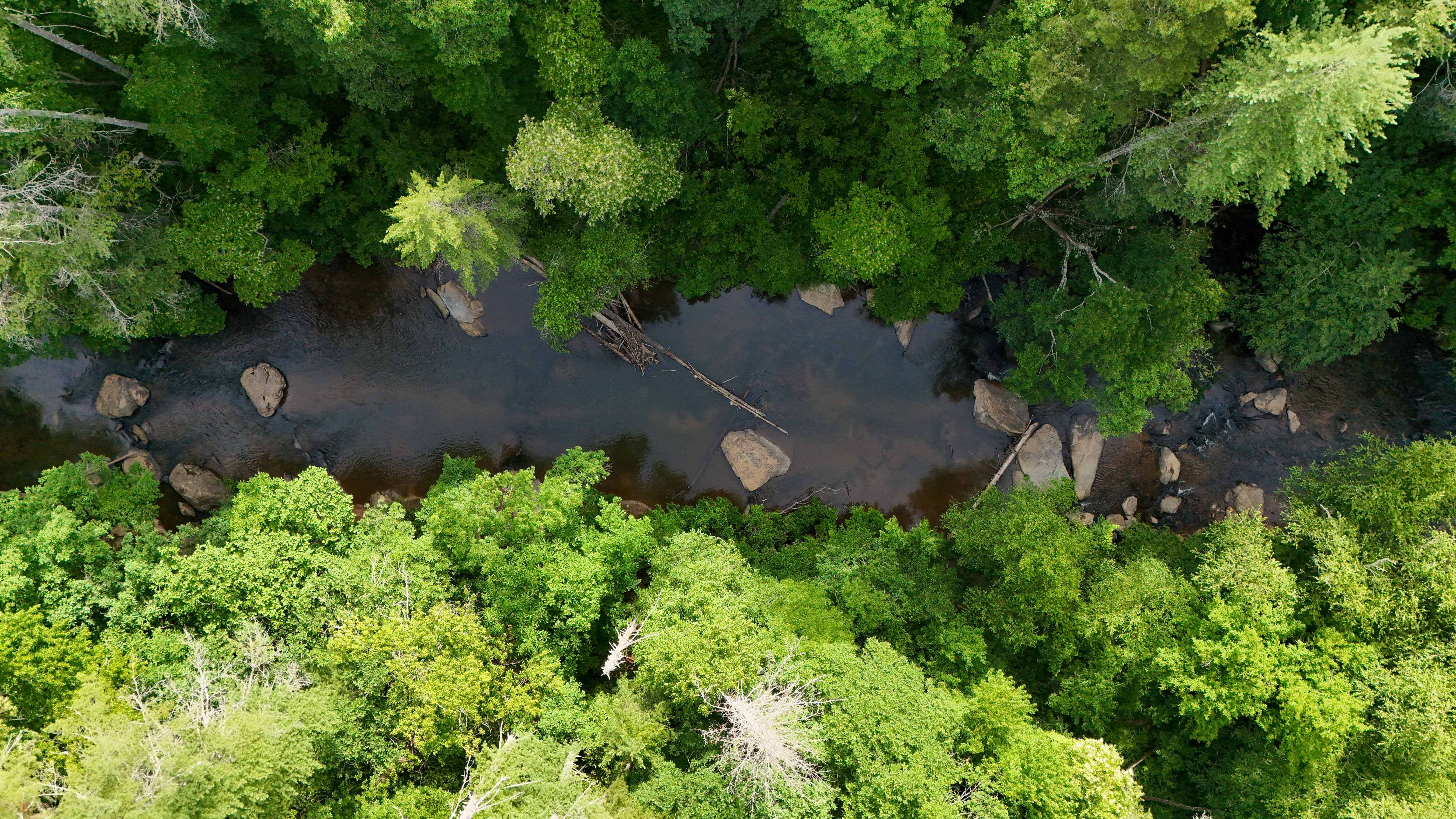
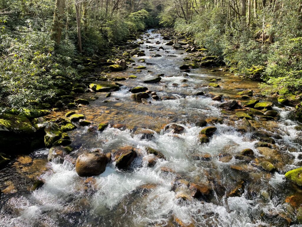
In the northwestern corner of South Carolina, the Chauga River flows through forested ridges and valleys before joining the Tugaloo River. Part of the Savannah River basin, it is one of the Upstate’s more free-flowing and lightly developed rivers. Its mainstem runs without major dams, allowing natural flows, sediment, and habitat to persist. Protected headwaters in the Sumter National Forest help sustain clean water and diverse aquatic life.
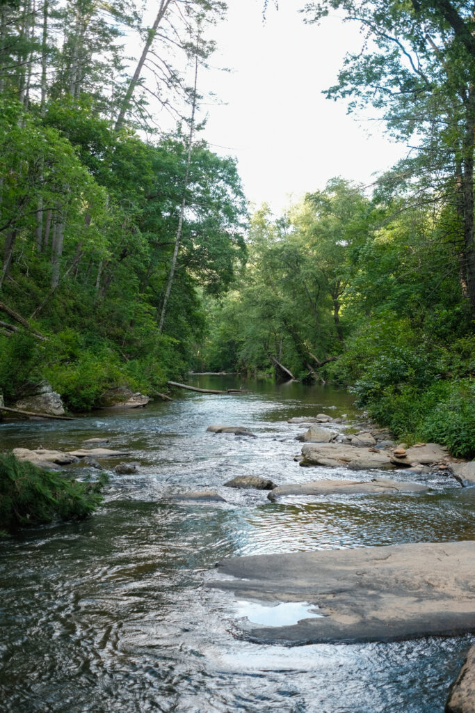
The river spans two geologic regions: the Blue Ridge and the Piedmont. In the upper watershed, steep slopes, exposed bedrock, and narrow valleys shape a network of cascades, shoals, and small waterfalls. As the river transitions into the Piedmont, the landscape opens into rolling hills and broader valleys, with a mix of bedrock runs, gravel bottoms, and slower pools.
Just east of the nationally designated Wild & Scenic Chattooga River, the Chauga shares many of the same features—clear water, rocky channels, and relatively steep gradients. Waterfalls are common, including the cascades at Chauga Narrows. The surrounding landscape is largely public land, with the Foothills Trail and Bartram Trail connecting rivers, ridgelines, and recreation across the watershed.
“Chauga” is believed to come from a Cherokee word often interpreted as “river of many shoals” or “broad river,” reflecting both its character and long-standing cultural connections to the region.
How long is the Chauga River?
The Chauga River is about 50 miles long. Shorter estimates reflect different methods of measuring the main channel, but in all cases the river functions as a medium-sized system with a well-connected network of tributaries.
What states does the Chauga River cross?
The Chauga River flows through South Carolina.
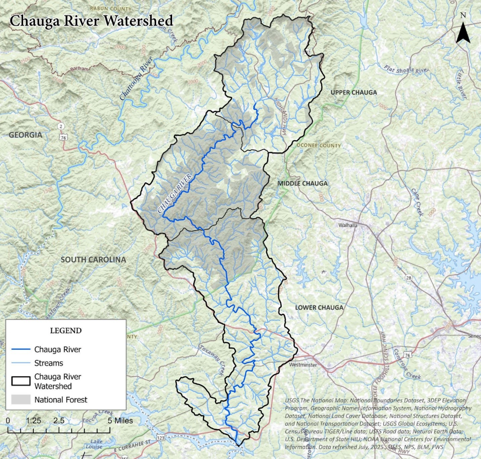
The Chauga River flows roughly 50 miles through Oconee County before meeting the Tugaloo River. Shorter estimates reflect different methods of measuring the main channel, but in all cases the river functions as a medium-sized system with a well-connected network of tributaries.
Cedar Creek, Ramsey Creek, and numerous smaller forested streams feed the Chauga with cool, oxygen-rich water, woody debris, and natural sediment. These inputs help maintain downstream habitat and overall stream health.
The river is part of the biologically rich Savannah River basin. Upper tributaries support naturally reproducing wild trout, with some reaches supplemented through stocking. The system also supports Bartram’s Bass—found only in the upper Savannah basin—along with sunfish, darters, freshwater mussels, salamanders, and a diverse community of aquatic insects. Maintaining intact tributaries and an undammed mainstem is key to sustaining this diversity.
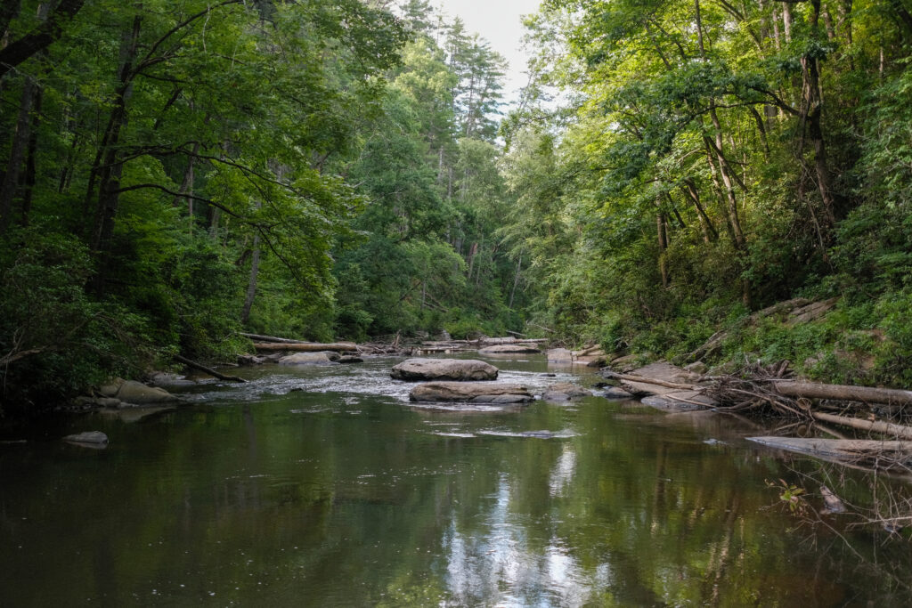
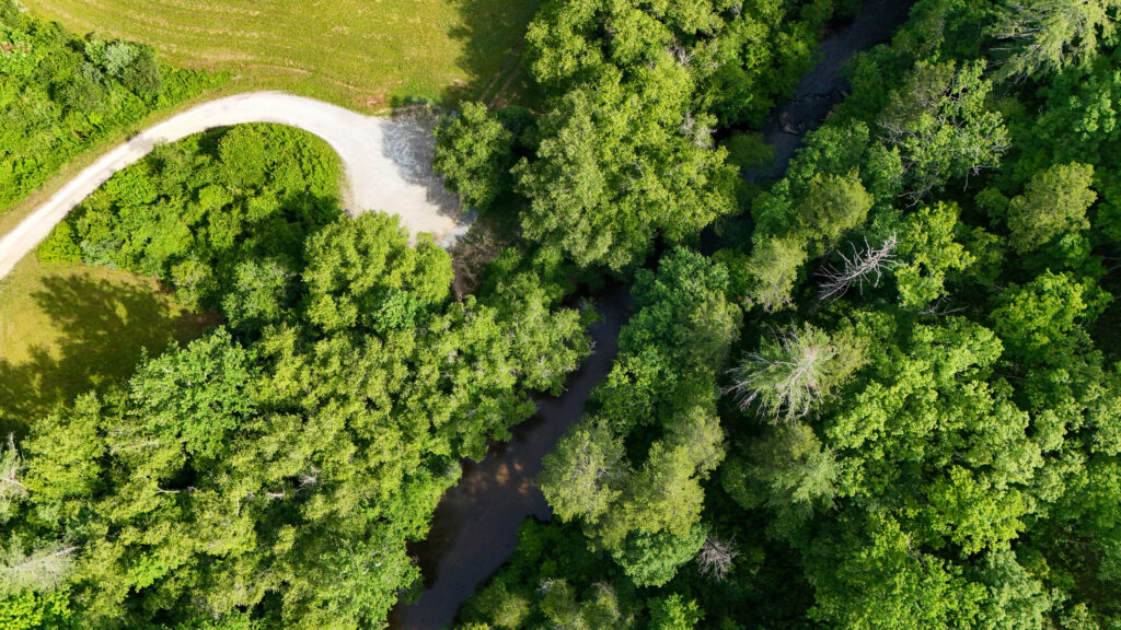
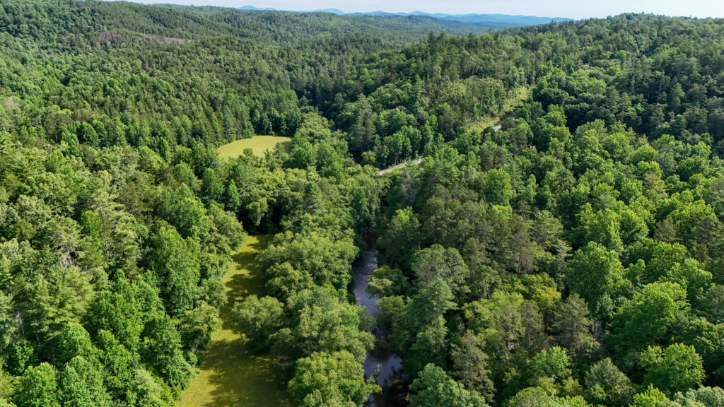
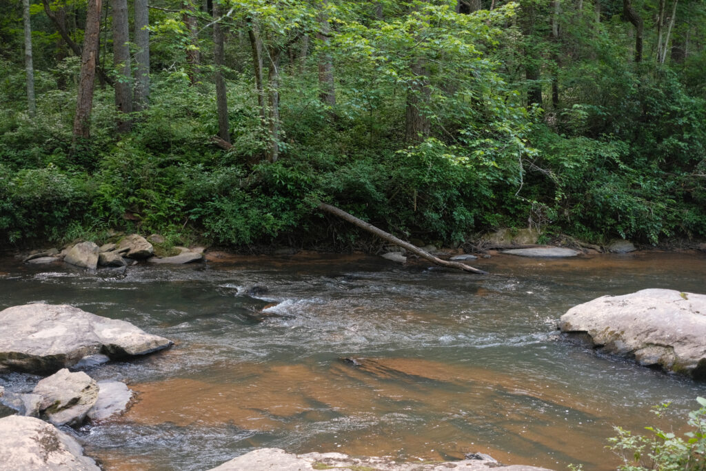
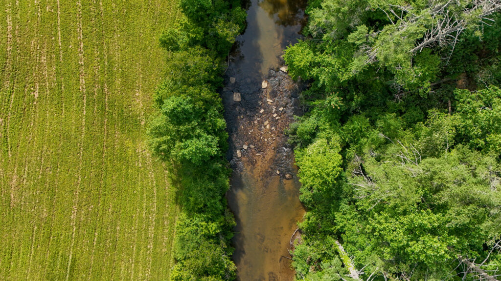
The Chauga is defined by its shoals, cascades, and seasonal flows. Anglers target trout and Bartram’s Bass while paddlers run sections during higher water. Nearby, the Chattooga River draws national attention for whitewater boating, making this region a hub for river recreation.
Despite its largely undeveloped condition, the Chauga faces ongoing pressures. Sediment from unpaved roads, stream crossings, and nearby development can wash into tributaries, filling riffles and covering spawning habitat. Over time, this reduces water quality and impacts aquatic life.
The Chattooga Conservancy is currently developing a watershed plan for the Chauga River to help identify priorities for protection and restoration across the basin.
Let's stay in touch!
We’re hard at work in the Southeast for rivers and clean water. Sign up to get the most important news affecting your water and rivers delivered right to your inbox.
Cultural History
The Chauga River flows through the historic homeland of the Cherokee Lower Towns, a network of communities in the foothills of present-day South Carolina and Georgia. These towns were closely tied to rivers and creeks, which served as travel routes, food sources, and connections between settlements.
A Cherokee town known as Chauga was located near the river’s headwaters. Near the confluence of the Chauga and Tugaloo rivers, archaeological work documented the Chauga Mound—part of a Mississippian-era village site later associated with Cherokee occupation. The site reflects thousands of years of human presence along the river before it was inundated by the creation of Lake Hartwell in the mid-20th century.
In the late 18th century, Cherokee communities in this region were displaced through a series of conflicts and land cessions, reshaping the human history of the watershed.
Restoration in Action
What is American Rivers doing on the Chauga River?
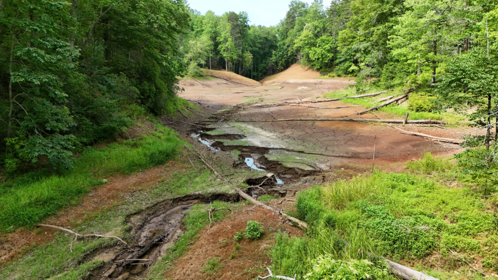
In June 2026, Presbyterian Lake Dam was removed from a headwater tributary of Cedar Creek within the Sumter National Forest, restoring natural streamflow and reconnecting aquatic habitat.
The project was completed in partnership with the U.S. Forest Service, the U.S. Fish & Wildlife Service Aquatic Restoration Team, and American Rivers. The dam had impounded a small recreation pond that was no longer in use. Its removal eliminated maintenance and safety concerns and allowed the stream to return to a more natural condition.
Restoring flow in headwater streams like this helps reestablish sediment movement, improve local habitat, and reconnect tributaries to the broader river system.
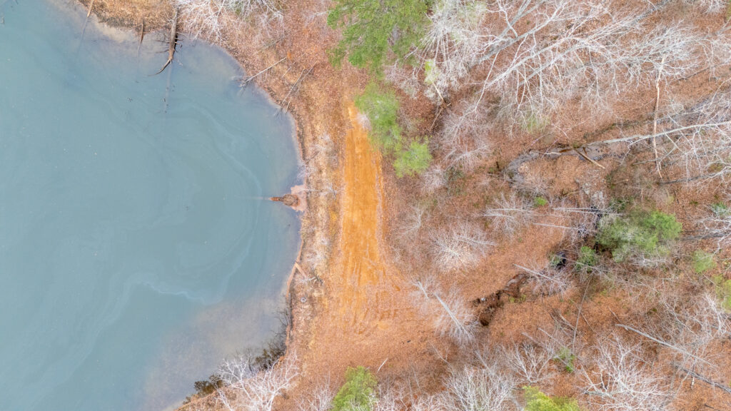
Restoring Headwater Streams in Sumter National Forest
Removal of the Presbyterian Lake & Back 90 dams reconnected seven miles of stream habitat, restored natural stream function, and eliminated two aging dam liabilities on public land in South Carolina.