The Land Behind the Flathead River’s Clear Water
The public lands behind the Flathead's clean water
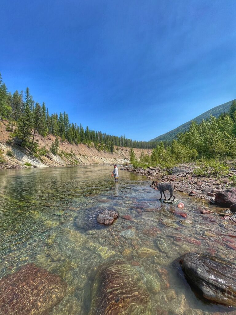
In northwestern Montana, near the Canadian border, the Flathead River winds through a landscape of towering mountains and dense forests, its crystal-clear waters revealing the stones beneath. Its majesty shocks first time visitors and draws river lovers from across the nation.
“When people visit here and see our water, most of them did not know that water could be this clean and clear,” said Rachel Schmidt, American Rivers’ Director of River Restoration in the Northern Rockies region.
Schmidt has known the river since she was a little girl. Her father worked as a whitewater rafting and fly-fishing guide, and she accompanied him on trips along the North Fork. Today, she’s passing the lessons she’s learned on the river down to the next generation. “I have had this remarkable experience of being able to take my children down the exact same stretches of river that I floated as a child,” she recalled.
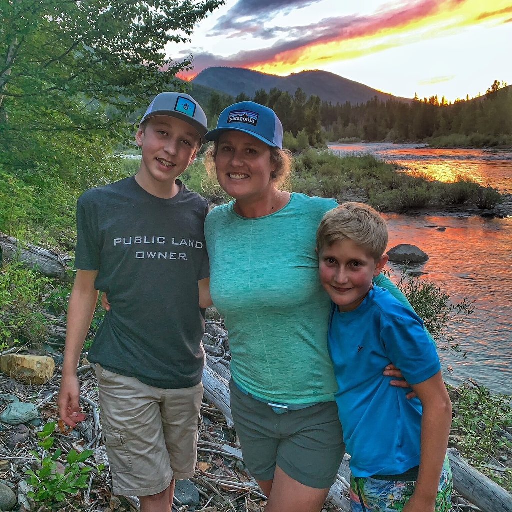
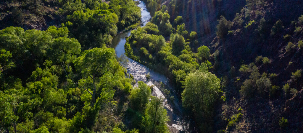
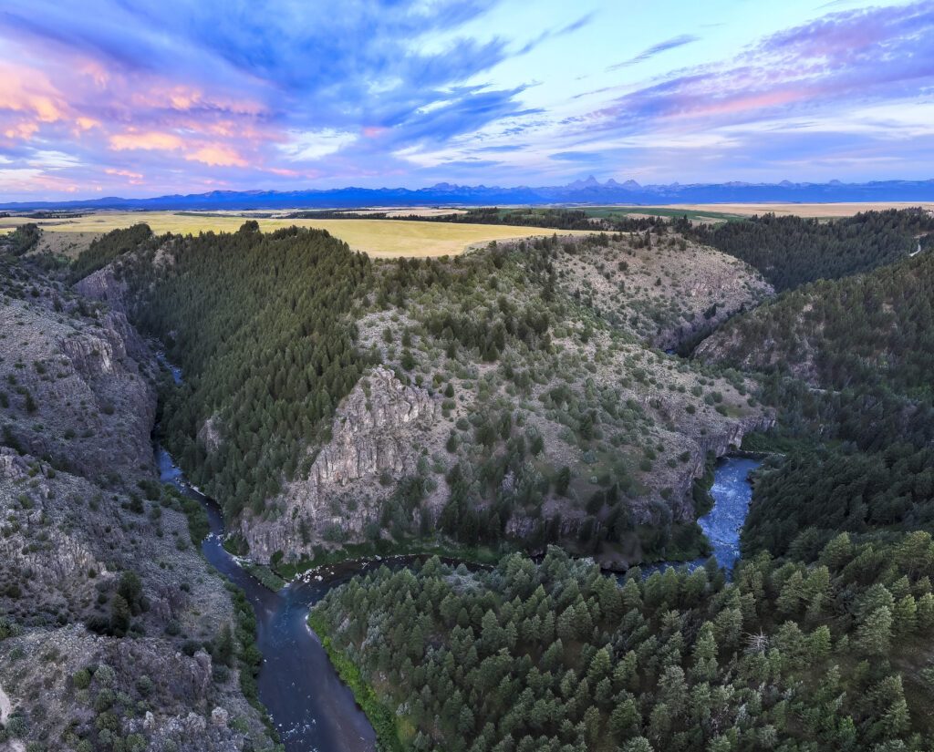
The stretches of river Schmidt grew up exploring are part of a much larger, interconnected landscape. In the Flathead’s upper forks, functioning floodplains and the surrounding protected public lands help sustain the river’s clean water and wildlife habitat. Across the country, forests and headwaters like these also help safeguard drinking water long before it reaches our faucets.
A river with room to move
In the Middle Fork of the Flathead, some of the river’s water takes a path that is hidden from view.
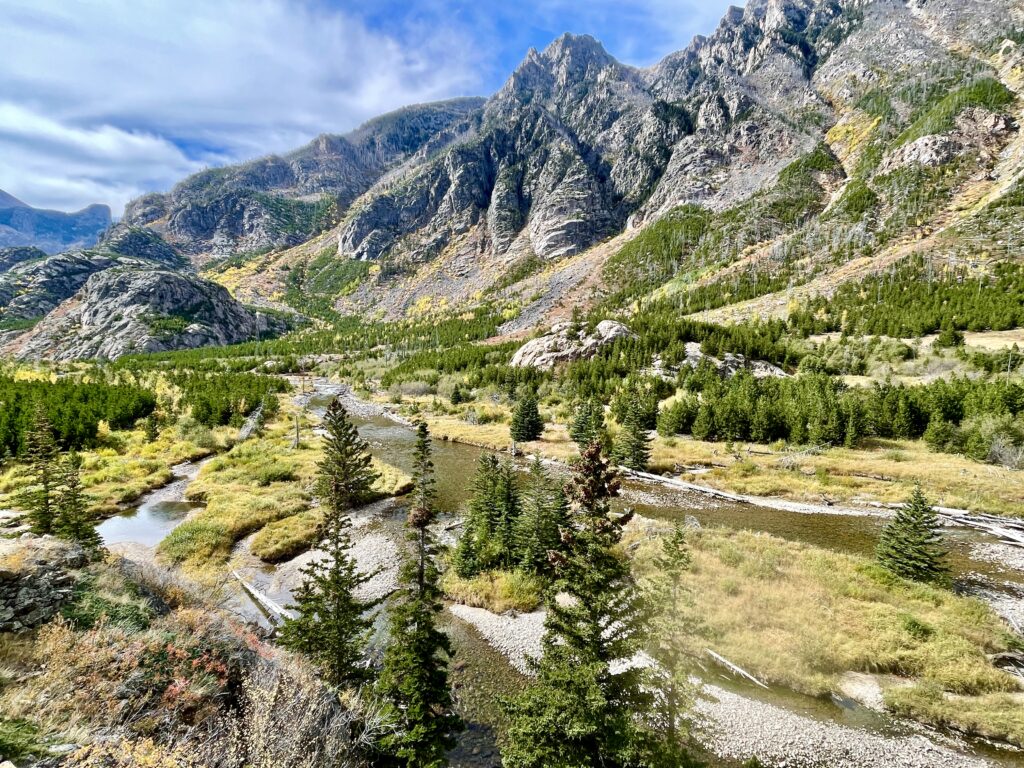
The Nyack Floodplain is a six-mile stretch of river channels and gravel bars, alongside forest which hosts water that travels through the gravel beneath the floodplain before it reemerges in smaller spring-fed streams. reemerging in smaller, spring-fed streams. Water levels occasionally rise and the river spreads out of its main channel to the surrounding land.
That extra space matters during floods. In the Flathead’s North and Middle Forks, largely intact floodplains help absorb high water and buffer the impacts of flooding. When rivers have room to spread, some of that water can be temporarily stored rather than rushing downstream all at once. For families living along rivers, that natural protection can make a difference when rising water threatens their homes and communities.
This movement creates a patchwork of habitats from the shallow side channels to the forested areas beside the river all comprising one giant living system. Gravel-bed floodplains provide habitat and pathways for wildlife like aquatic insects and fish, as well as birds. They also serve as important migration corridors for larger mammals, such as mighty grizzly bears, who move through the surrounding mountainous terrain.
In addition to supporting wildlife, these healthy floodplains also maintain the quality of the water that flows downstream.

The Flathead by the Numbers
-
219
Flathead River miles designated Wild and Scenic in 1976
-
85%
shoreline miles along federally designated Wild and Scenic stretches
-
350K
Montanans whose drinking water sources are helped by inventoried roadless areas
How public lands help protect clean water
Parts of the North and Middle Forks border Glacier National Park and other stretches of the river system run through Flathead National Forest and the Bob Marshall Wilderness Complex. In the river areas that are federally designated as Wild and Scenic, 85% of shoreline miles are run by the U.S. Forest Service or National Park Service.
According to the 2026 National Protected Rivers Assessment, only 10% of Montana’s river miles are adequately protected. However, in the Middle Fork, the assessment identifies much higher levels of protection in several smaller watersheds. All 63 miles in the Upper Nyack Creek watershed and all 43 miles in the Lower Nyack Creek watershed identified as protected by the assessment. National park lands and state protections for streamside areas are some of the mechanisms that safeguard these watersheds.
These public lands guard the river’s water quality. Forests and streamside vegetation stabilize soil and slow runoff which reduces how much sediment goes into waterways. Plants and soils also capture nutrients before they get to the river. In watersheds that supply drinking water, these natural processes help protect water at its source before it ever arrives at a treatment plant and our faucets.
For Schmidt, the connection between public lands and the river is unmistakable. “It’s our public lands that create the quality of water we have,” she said.
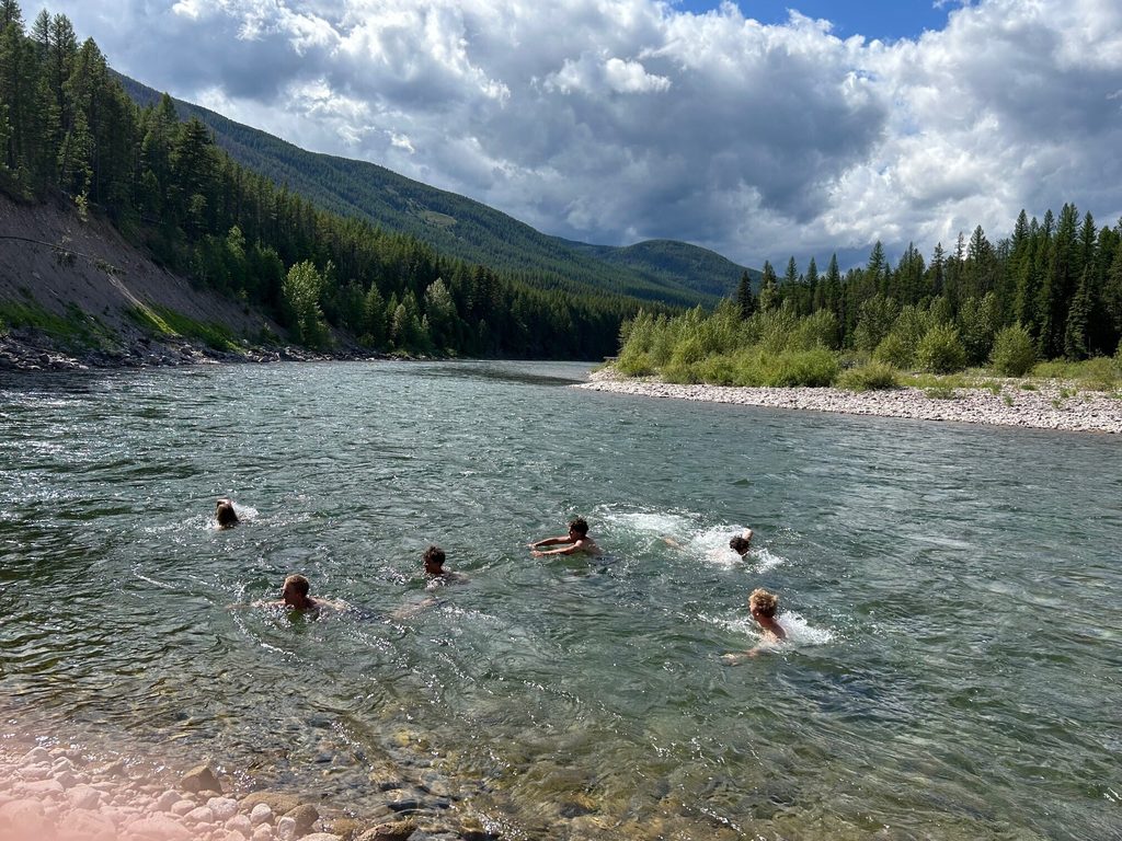
The Flathead’s remarkably clear water is backed by water quality testing. National Park Service monitoring found high water quality in Glacier National Park. At seven sites in the river’s North and Middle Forks, levels of E. coli, a type of bacteria that can signal contamination, were well below limits set to protect human health.
Flathead National Forest also includes watersheds that contribute to community water supplies. In Montana, the federal Roadless Rule limits most road construction and timber harvesting in inventoried roadless areas, which safeguards the forests and the rivers flowing through them. These areas help protect drinking water sources for more than 350,000 Montanans. In a 2025 op-ed, Ben Rigby, executive director of Montana Rural Water Systems, identified the headwaters of the South Fork Flathead as one example of roadless areas that help support regional drinking water supplies. He explained that roads can increase erosion and sediment entering waterways which can make water more expensive to treat downstream.
Many families will never see the forests that help supply their drinking water, but protecting those landscapes helps safeguard something they depend on every day: clean water for themselves and the people they love.
Let's Stay in Touch!
We’re hard at work in the Northern Rockies for rivers and clean water. Sign up to get the most important news affecting your water and rivers delivered right to your inbox.
Protecting a river before it’s too late
The Flathead’s remarkable condition was never guaranteed.
In 1957, a proposal to construct Spruce Park Dam on the Flathead prompted opposition from conservationists, such as wildlife biologists Frank and John Craighead. They were horribly concerned about what could be lost so the brothers helped build support for protecting the nation’s remaining free-flowing rivers.
Their efforts helped inspire the Wild and Scenic Rivers Act of 1968. Eight years later, Congress designated 219 miles of the Flathead’s North, Middle, and South Forks under the Act, which preserved their free-flowing character and other outstanding natural values.
“This doesn’t happen by accident,” Schmidt said. By the time Congress protected those stretches of the Flathead in 1976, Hungry Horse Dam had already transformed part of the South Fork into a reservoir. Roads and structures also occupy portions of the Flathead Valley floodplain, where changes to the landscape can interfere with the river’s natural movement and wildlife habitat.
Reversing that damage is not always simple.
“The cost to restore rivers is so high it can often take decades to fix what could have been prevented in the first place,” Schmidt explained.
Restoring altered rivers is a very important part of river protection but the Flathead’s history illustrates the value of acting before those natural connections are lost.
What we leave behind
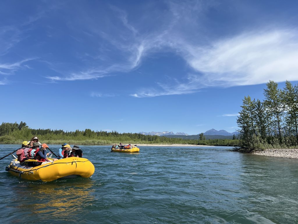
Years from now, a child might float the Flathead for the first time and marvel at its clear water and forested banks. They may never know the people who fought to protect it, but what they find there will depend on the choices we make today.
The Flathead’s future depends on the public lands surrounding it. Caring for the forests and floodplains at its banks and throughout its headwaters is part of protecting the river itself and the clean water it carries. The same commitment that helped preserve the Flathead decades ago will determine what future generations experience there.
As Schmidt put it, “It’s our shared land. It’s our shared responsibility.”