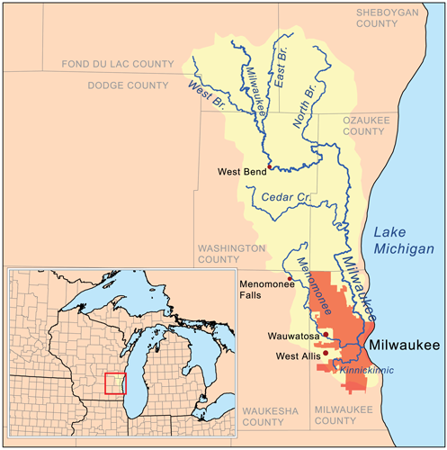
Kinnickinnic River

At 33 square miles and 96 percent urban land cover, the Kinnickinnic River is the smallest and most developed watershed in the Milwaukee River basin — a watershed that covers approximately 850 square miles and is home to more than 1.5 million people.
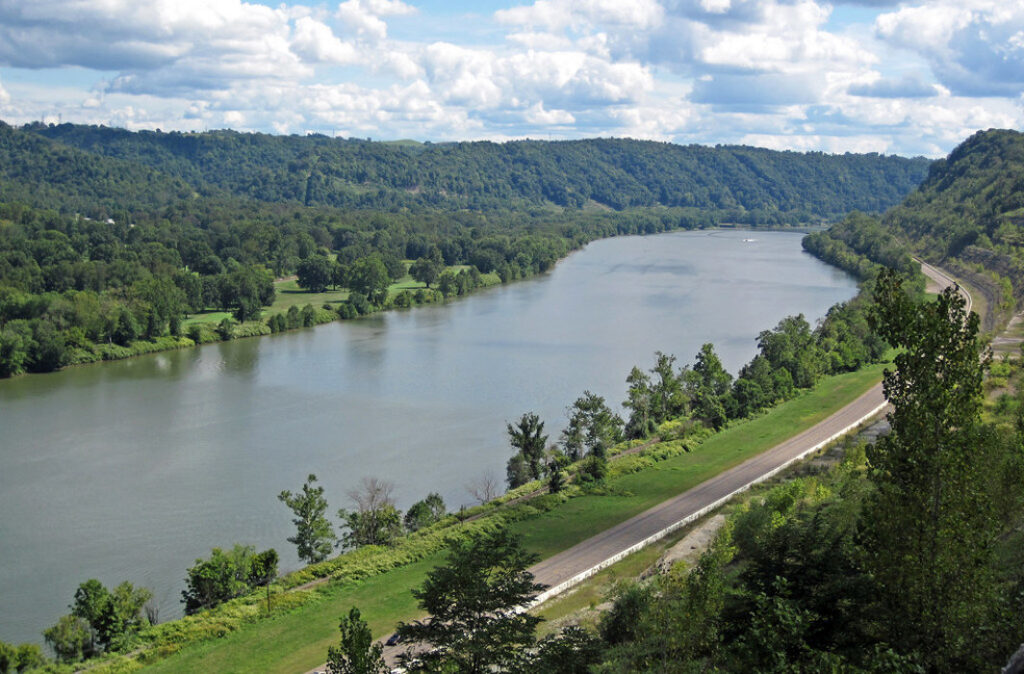
The Kinnickinnic River, which lies almost entirely in the city of Milwaukee, empties into the Milwaukee Estuary and then Lake Michigan.
The entire Milwaukee Estuary has been designated as a Federal Area of Concern (AoC), including 2.8 miles of the Kinnickinnic River from Lake Michigan to Chase Avenue, due to toxic contaminants and urbanization of the river. The Kinnickinnic River is located in one of the most populated, racially diverse and poorest areas of the city of Milwaukee.
The communities around the river endure poor water quality, a lack of recreational opportunities, and diminished and unsafe access to the river. Once consisting of a vast marsh, a vibrant crawfish fishery and multitudes of shipyards, the river still remains vital to the local boating industry, though the build up of contaminated sediment severely hampers all boating activities, both recreational and commercial.
Threats to This River
Like many urban rivers across the country, the Kinnickinnic River has been neglected — laced with toxic contamination, lined with concrete, degraded and ignored. Extensive efforts and studies have highlighted these problems, and many local organizations and agencies have made Kinnickinnic River restoration a top priority.
What states does the river cross?
Wisconsin
Let's Stay In Touch
We’re hard at work in the Great Lakes for rivers and clean water. Sign up to get the most important news affecting your water and rivers delivered right to your inbox.