Boise River
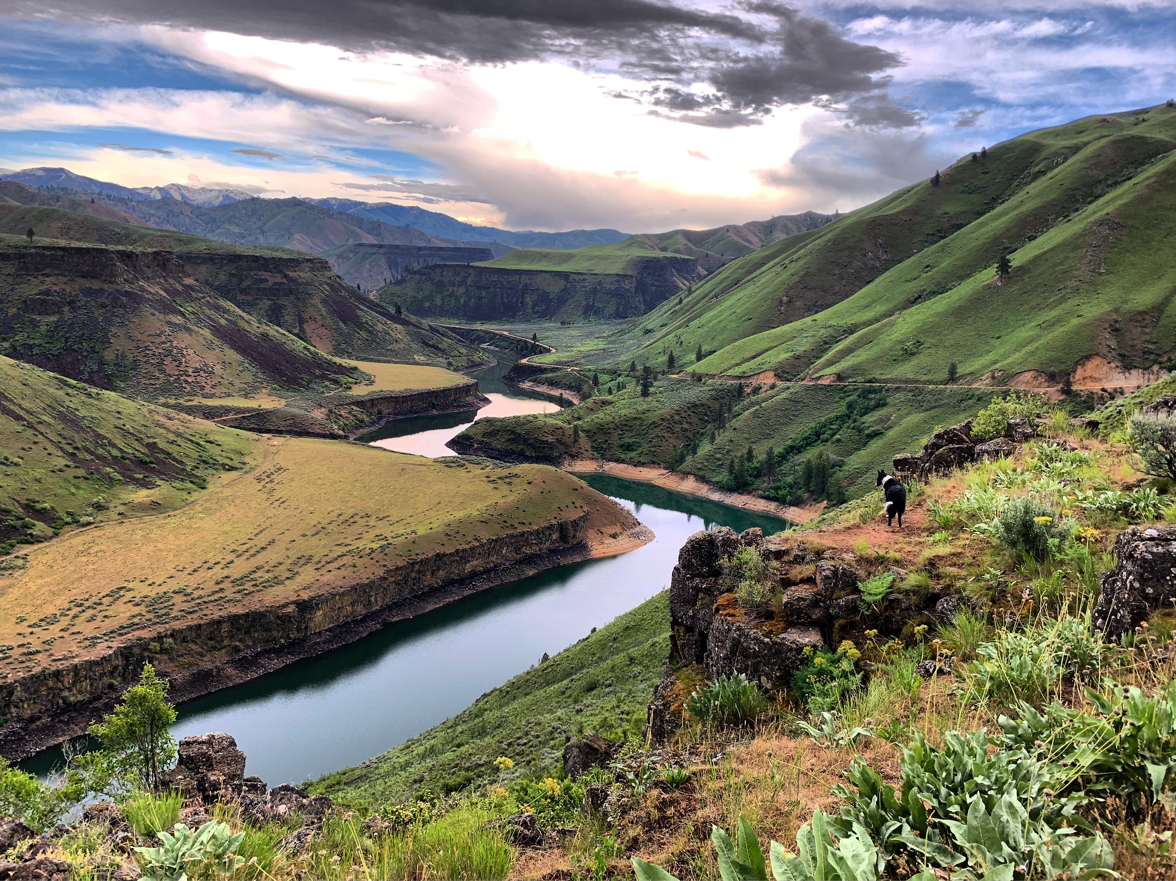
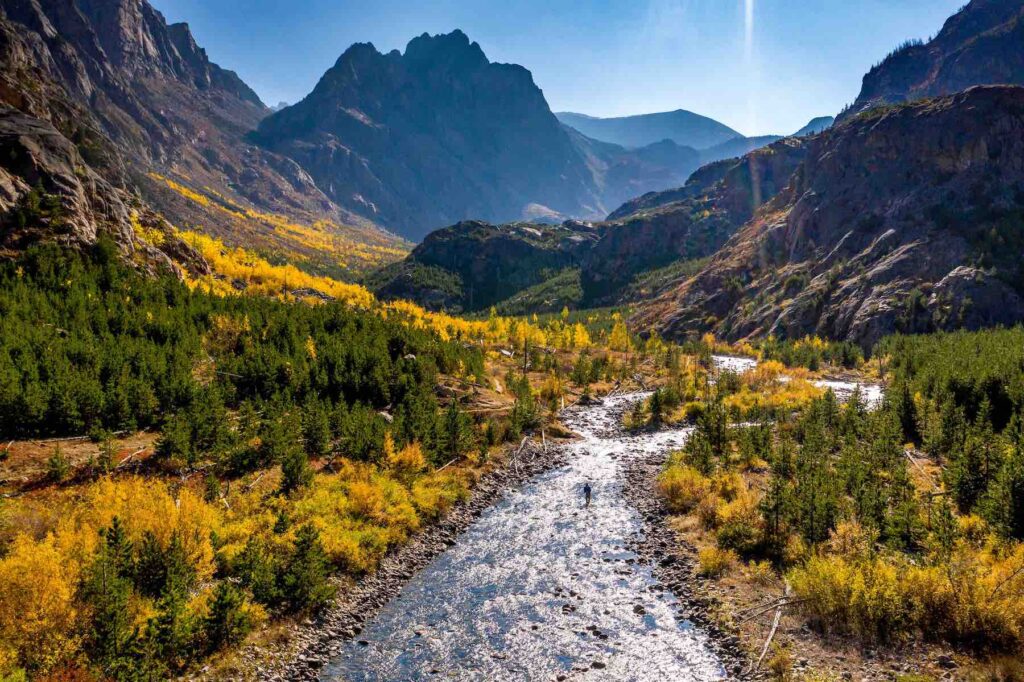
The Boise River originates in the rugged Sawtooth Range in Idaho and flows west through the Boise National Forest and the Boise River Wildlife Management Area to join the Snake River. Long before settlement of the Boise River valley in the mid-1800s, numerous tribes including the Shoshone, Bannock, Northern Paiute, and Nez Perce, fished, harvested, traded, and wintered in the valley’s mild climate. While much of the Boise River headwaters traverse remote public lands, four downstream dams—the Boise River Diversion Dam (1908), Arrowrock Dam (1915), Anderson Ranch Dam (1950), and Luck Peak Dam (1955)—provide irrigation, hydroelectric power, and drinking water for area farmers and residents as the river flows through increasingly urban southwestern Idaho. Today, the Boise River watershed provides approximately 30% of Boise’s drinking water and irrigates over 300,000 acres of farmland.
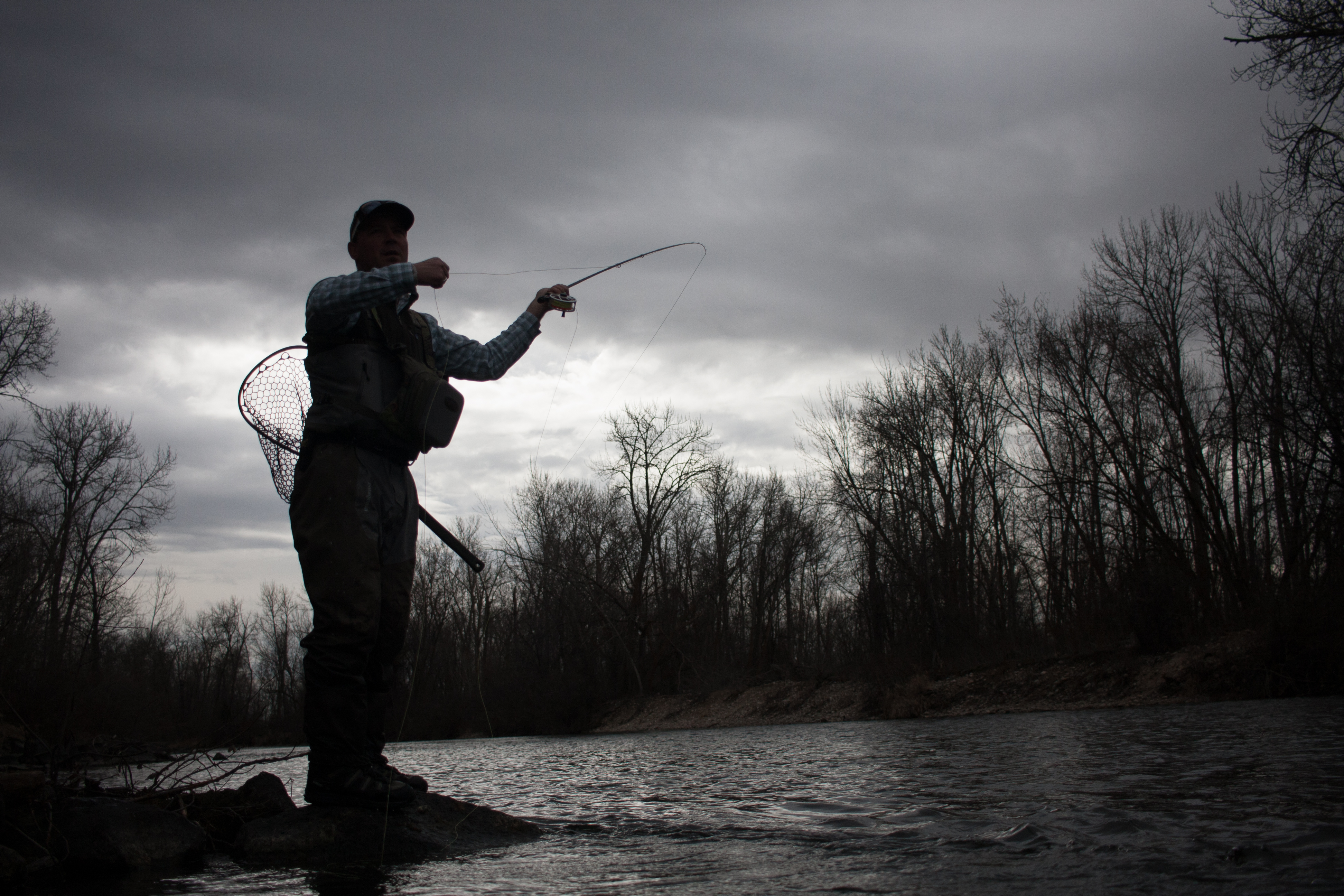
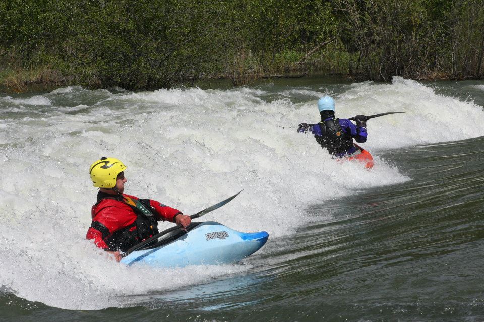
Every year, over 125,000 people float the six miles of the Boise River that flows through the city of Boise. The Boise Whitewater Park opened in 2012 and features three waves designed to provide opportunities for both kayak and river surfing. The park was developed on a site that once had concrete and debris from old slaughter houses. The river is bordered by the Boise River Greenbelt, a 42-mile trail system from Lucky Peak to Garden City that connects people to parks, open spaces, businesses, and communities along the Boise River.
Where is the Boise River?
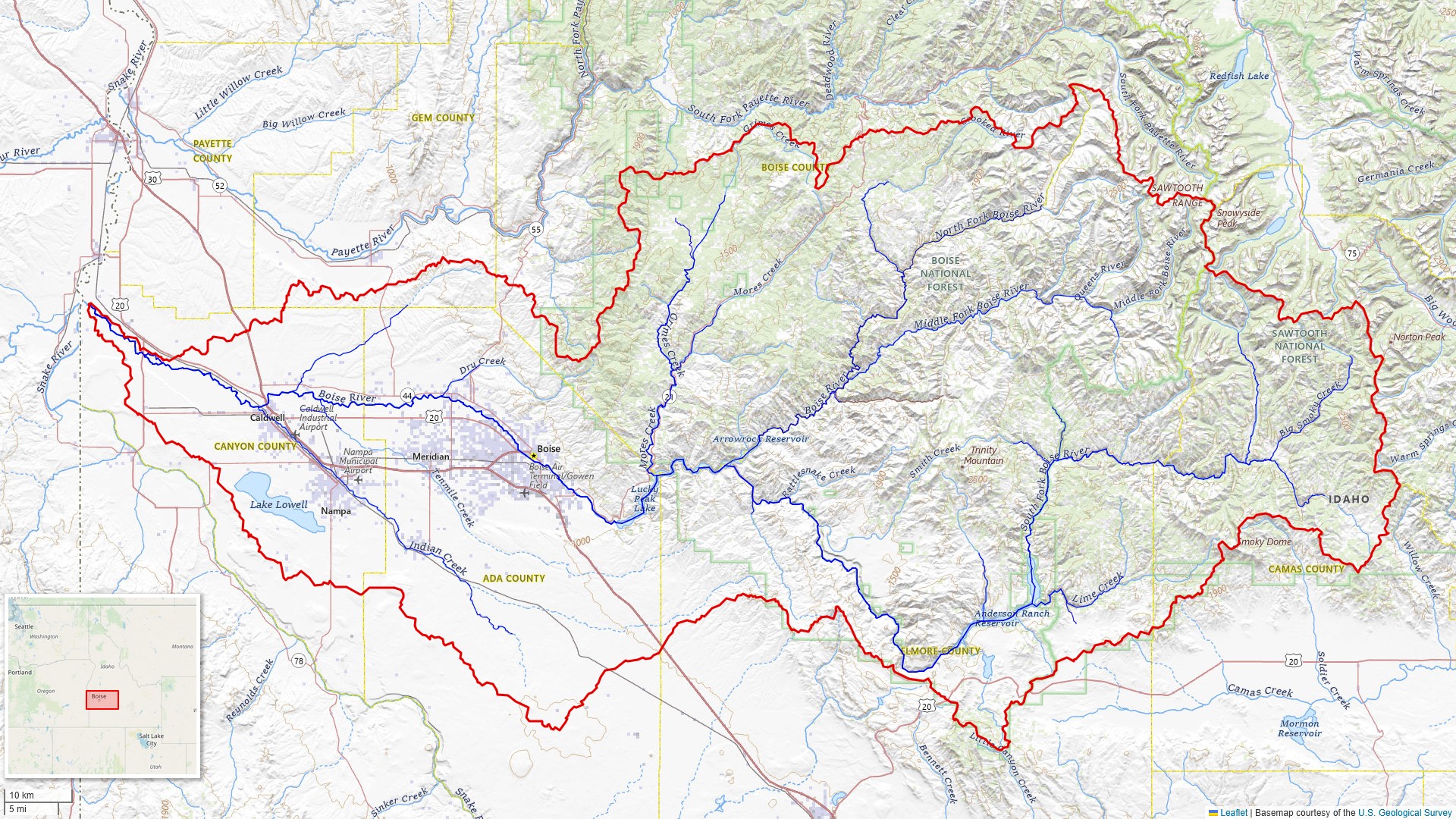
The Boise River is in Idaho
Can you swim in the Boise River?
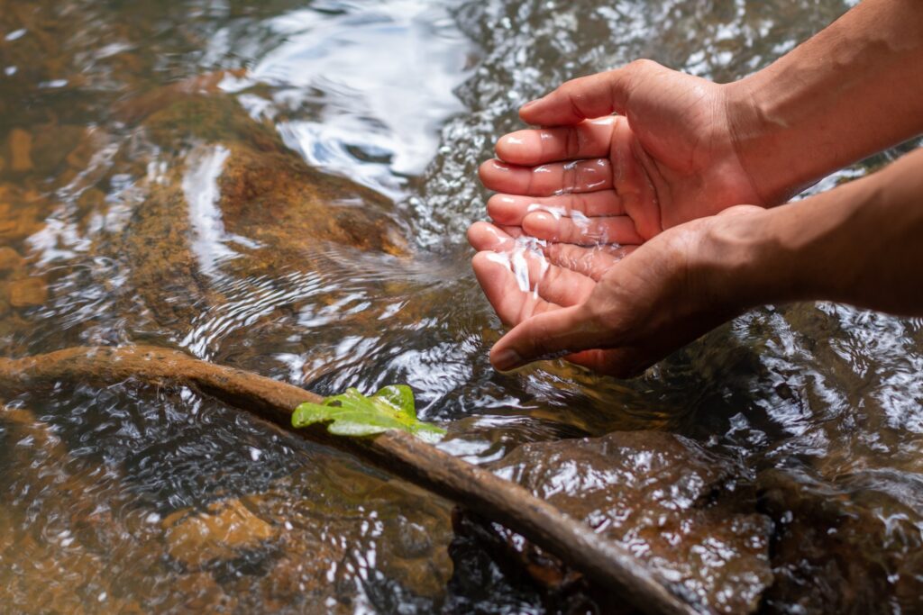
Yes, you can swim in the Boise River. It is important, though, to take necessary precautions before going out, like being aware of currents and checking river temperature, even in the summer, as the water stays cold year-round.
How long is the Boise River?
The Boise River is 102 miles long and is a tributary to the Snake River.
The Backstory
From the 1940s through the early 1960s, people used the river to dispose of garbage and raw sewage, and there were three slaughterhouses that dumped animal waste directly into the flowing water. The City of Boise built its first wastewater treatment plant in 1949, followed by a city ordinance that banned dumping trash into and along the Boise River. These actions stemmed river pollution, led to cleaner water, and improved public perceptions of the river and its value to the community.
In the 1960s, Boise City Councilman Bill Onweiler began promoting a new vision for the river corridor—a greenbelt, the first phase of which opened in 1975 to connect two existing parks. Today, the Boise River Greenbelt connects 10 different parks amid one of the fastest growing cities in the west.
Let's Stay in Touch!
We’re hard at work in the Northern Rockies for rivers and clean water. Sign up to get the most important news affecting your water and rivers delivered right to your inbox.
The Future
The Boise River is still undergoing restoration from its hard-working legacy and faces new threats. The Boise River Greenbelt and surrounding areas are undergoing ongoing efforts to restore and enhance native plant life, particularly black cottonwoods grown and planted by the Boise River Enhancement Network. Each year, groups like Idaho River United host river cleanups on the Boise River to keep parks and riverbanks free of trash from increasing numbers of visitors. Stormwater continues to flow directly into the river, despite efforts by the City of Boise and increasing numbers of local businesses to mitigate parking lot runoff. Upstream, the Forest Service approved an exploratory drilling permit in 2025 for the CuMo Mine on the Boise National Forest. If approved for construction, an open pit mine in the headwaters could jeopardize downstream water quality for Boise residents and irrigators.
Related
Clean Water and Rivers
No matter who you are or where you live, we all need clean, safe, reliable drinking water. And most of our drinking water comes from rivers and streams. But pollution threatens our rivers, and our water supplies are becoming more stretched each year.
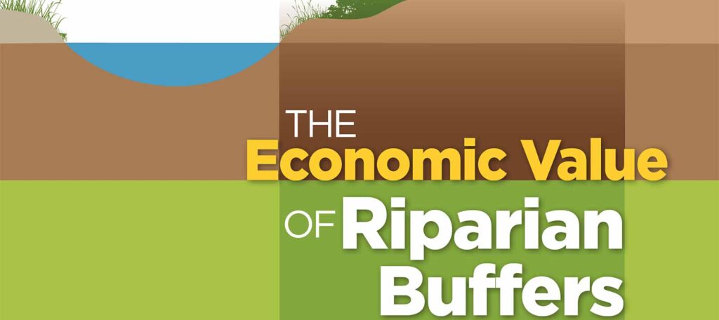
Economic Value of Riparian Buffers
American Rivers’ report, The Economic Value of Riparian Buffers presents research findings from the Environmental Finance Center at the University of Maryland to increase what is understood of economic values associated with the current scientific evidence supporting protection and restoration of forested streamside areas known as riparian buffers.