Amargosa River
Nevada’s Invisible River
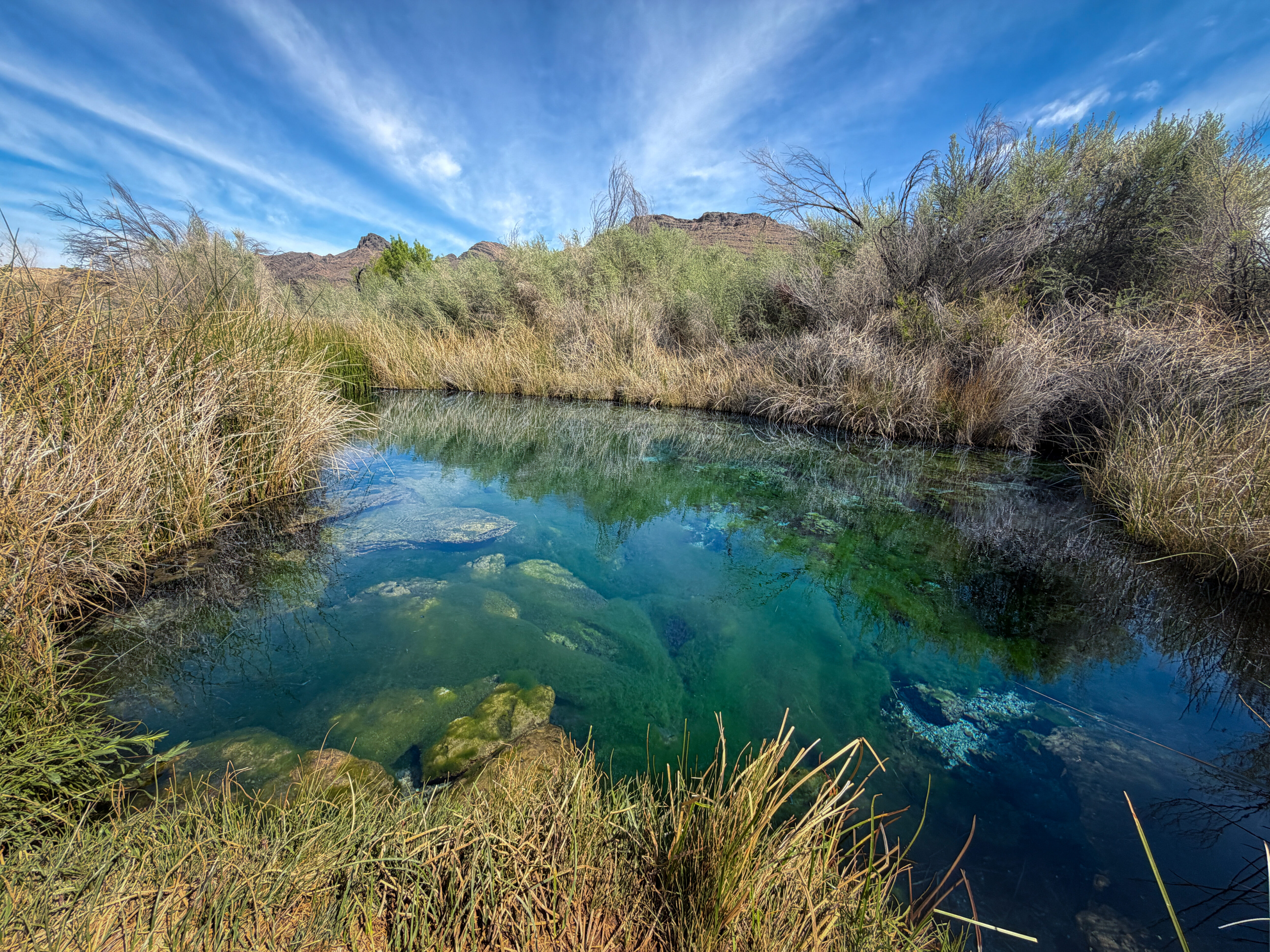
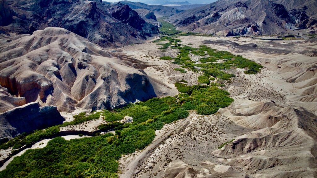
The Amargosa River flows for 185 miles from the Oasis Valley of Nevada, just northeast of the small town of Beatty, also known as the “Gateway to Death Valley.” The river flows south through California’s Mojave Desert, curves north into Death Valley National Park, and ultimately ends in Badwater Basin, California. Mostly underground and largely unseen, the Amargosa occasionally surfaces, its waters creating an ecologically rich oasis for plants and wildlife. During particularly heavy rainstorms, the entire river has been known to flow above ground.
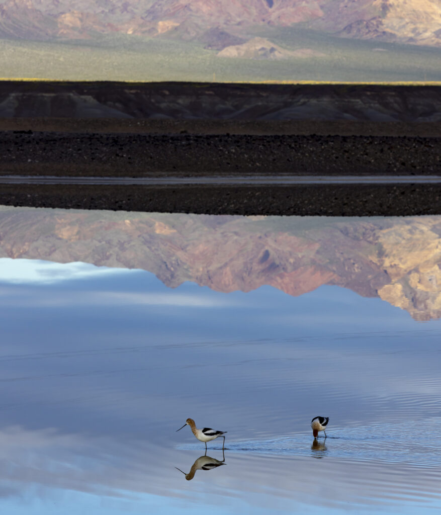
Despite the river living predominantly underground, the river provides critical water and habitat for a remarkable variety of plants and animals, many of which can’t be found anywhere else on earth. It’s a lifeline and home to rare fish, amphibians, plants, and over 250 resident and migratory bird species. Ash Meadows National Wildlife Refuge, located near the headwaters of the river, contains the highest concentration of native species in the United States.
An abundance of life, including endangered species such as the Devils Hole pupfish, Amargosa vole, and Amargosa niterwort, all depend on the Amargosa River and the connected groundwater and springs. Without its water, this fragile web of life collapses.
Did you know?
The Amargosa River is one of the world’s longest underground rivers: a ribbon of life flowing through one of the hottest and driest places in North America.
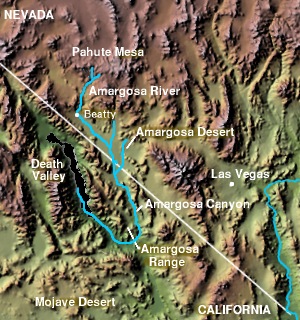
What states does the Amargosa River cross?
The Amargosa River flows through Nevada and California.
Since time immemorial, the Amargosa River has been a living part of the ancestral homelands of the Timbisha Shoshone, Southern Paiute, Pahrump Paiute, and Chemehuevi Tribes. The Timbisha Shoshone retain sovereign lands in this region, and their communities continue to rely on the Amargosa River for drinking water, food, medicine, and cultural practices.
Low-income and rural communities in both Nevada and California rely on the Amargosa River’s groundwater as a primary drinking source and to support the local tourism economy.
What is the biggest threat to the Amargosa River?
St. Cloud Mining’s Ash Meadows Mine project and Lhoist North America’s Amargosa Valley Mine are proposing to expand claystone mining operations. There are also hundreds of active mining claims for lithium on the border of Ash Meadows. These projects involve large-scale extraction of claystones used for a variety of industrial and commercial purposes due to their absorptive qualities. Current proposals involve exploratory drilling and mining of these minerals to or below the water table and may entail pumping of groundwater out of an open pit to access the ore.
What’s at risk?
The best available science has shown clearly that dewatering of open pits may put groundwater-fed springs in Ash Meadows and Death Valley National Park at risk of destabilization or drying, which would be catastrophic for the river’s fragile wildlife.
Mining activity threatens the land, water, and wildlife sacred to the area’s Tribal Nations. What’s more, many local residents already face domestic well failures from historic groundwater depletion. Scientific studies suggest that new mining activity has the potential to worsen these inequities and may ultimately lead to the displacement of these communities.
Amargosa River Listed as one of America’s Most Endangered Rivers® of 2026
The Amargosa River is a desert treasure, delivering life-giving water to local communities and the plants and animals that thrive along its banks. But proposed claystone mining threatens to pollute the river and impact the groundwater essential to the river’s flows. The Department of the Interior must approve a mineral withdrawal for the Amargosa River to prevent mining and safeguard the river.
Please join us in urging the DOI to approve a proposed mineral withdrawal in the next 12 months before temporary protection expires. Implementing a 20-year mineral withdrawal is an important and urgent step toward protecting the critical groundwater that sustains irreplaceable biodiversity at Ash Meadows and supports the communities of the Amargosa River Basin, including the Timbisha Shoshone Tribe.
At the same time, we ask you to urge Congress to permanently protect Ash Meadows, Amargosa Valley, and the sovereign lands and sacred waters of the Timbisha Shoshone Tribe by designating the Ash Meadows National Conservation Area. Establishing a National Conservation Area is urgently necessary to ensure durable protection of groundwater resources, biodiversity, cultural values, and rural and Tribal communities across the Amargosa River Basin.
Protect critical water supply of the Amargosa River
Urge Congress to permanently protect Ash Meadows, Amargosa Valley, and the sovereign lands and sacred waters of the Timbisha Shoshone Tribe by designating the Ash Meadows National Conservation Area.
What our partners are doing on the Amargosa River
The Amargosa Conservancy is dedicated to working towards a sustainable future for the Amargosa Basin through science, stewardship and advocacy.
The Nature Conservancy has also commissioned a landmark study, utilizing the best available science to analyze the potential impacts of open-pit mining in this sensitive hydrological area. The results of this study demonstrate profound impacts to springs and wetlands within Ash Meadows and within the Devils Hole, a disjunct unit of Death Valley National Park contained within the refuge boundaries and sole habitat of the critically endangered Devils Hole pupfish. The study powerfully demonstrates the real risks to groundwater resources and dependent habitats and communities in Amargosa Valley, and speaks to the urgent need for these lands to receive a higher standard of protection from mining practices.