Turn on your tap, and there’s a good chance the water started high in a national forest. That’s no accident: the 1897 law governing our national forests made protecting water flows a core purpose. After a century of road building for logging and mining, the 2001 Roadless Area Conservation Rule set out to protect a small percentage of National Forests with intact, backcountry watersheds known as Inventoried Roadless Areas.
Those lands safeguard 80,000 river miles, supply drinking water to 25 million Americans, and shelter some of the last native trout and wildlife strongholds. The U.S. Department of Agriculture (USDA) is seeking to repeal the rule, in what would be the largest rollback of river protections in U.S. history. The good news is that 1.6 million Americans, including many of you, have weighed in during the initial public comment period which ended on October 6th calling on the USDA to retain these existing protections for our rivers and clean water.
Protection of our public lands built by the public
The Roadless Rule was finalized in 2001 after hundreds of public meetings and roughly 1.6 million public comments, overwhelmingly in support. It covers about 58.5 million acres, nearly a third of the National Forest System, and generally bars new roads and commercial logging. It doesn’t close existing roads or trails, and it already allows for wildfire suppression and fuel reduction. Colorado and Idaho have their own state rules; everywhere else, the 2001 rule is the backstop.
The push to roll it back
So how did we get here? Last year, U.S. Agriculture Secretary Brooke Rollins announced that USDA wanted to scrap the rule. When the Forest Service opened the process in August 2025, people showed up: advocates counted roughly 600,000 comments, nearly all urging the agency to keep the rule.
USDA pressed ahead anyway. This August, it proposed repealing the rule outright and released a 333-page draft environmental impact statement (EIS). It looked at a middle option that would keep protections on about 13 million acres, but made it abundantly clear it prefers full repeal.
The public got about a month to respond. After conservation groups pushed back, USDA added 15 days, and comments closed October 6. Over 1 million people across the country weighed in.
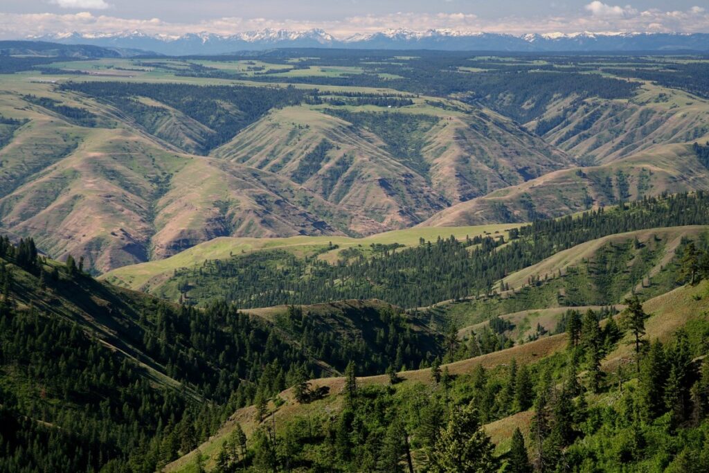
If repeal goes through, about 44.7 million acres, including Alaska’s Tongass National Forest, would lose national protection.
Where our water comes from
Roadless Areas are headwaters, and what happens there flows downstream to everyone else.
A peer-reviewed study published in PLOS Water in July, led by Dr. Julian Olden, our partner and University of Washington scientist, found that roadless areas protect more than 80,000 miles of rivers and streams in the lower 48 states. That water reaches at least 25 million people, from Salt Lake City, Las Vegas, and Los Angeles to towns in West Virginia, North Carolina, and Vermont.
Roads are a leading source of sediment in forested watersheds. That sediment clouds water, fills reservoirs, smothers trout and salmon spawning beds, cuts into wildlife habitat, and drives up treatment costs that land on ratepayers’ bills. An intact, forested watershed is the cheapest water filter a city will ever have.
Wildfire, rivers, and clean water

USDA’s main argument for repeal is wildfire. But fire, rivers, and drinking water are tightly linked, and roads make that relationship worse, not better.
As American Rivers has documented, research shows wildfires are about four times as likely to start in roaded areas as in roadless ones, and more than 90 percent of fires start within half a mile of a road. Roads bring people, vehicles, and equipment, and with them, sparks.
The Forest Service’s own analysis agrees. It acknowledges that road density is linked to human-caused wildfires, and that ignitions become more likely and more frequent as road density rises. Put simply: more roads, more wildfire.
Healthy watersheds, by contrast, soak up rain and help buffer communities against fire and flood. We already have 371,000 miles of roads on National Forests, according to the U.S. Forest Service, which is seven and a half times the length of the Federal Highway system nationwide and 15 times the distance around the earth. The Forest Service currently receives less than 20 percent of the money it needs to maintain this existing massive road system.
Water utilities see the connection
The people who deliver our drinking water know how much depends on what happens upstream on federal land. The Association of Metropolitan Water Agencies represents the largest publicly owned metropolitan drinking water systems in the US, with their member organizations supplying drinking water to over 150 million Americans —, nearly half of the country. Their CEO, along with many other organizations representing major water providers, such as the Arizona Municipal Water Users Association, sent a letter to Brooke Rollins and USDA making their position clear. The first sentence reads: “On behalf of the undersigned, we urge the U.S. Department of Agriculture (USDA) to withdraw the proposed rescission of the 2001 Roadless Area Conservation Rule and select Alternative 1, the No Action Alternative, to maintain a nationwide rule.” The agency also received comments from the County of Santa Barbara, California, the Salt Lake City Public Utilities Department, and the county of Shenandoah Virginia—all asking the USDA in the to abandon this misguided rulemaking and keep the 2001 Roadless Rule in place.
The good news is that cities and public water utilities around the country have been weighing in to let Brooke Rollins and the USDA know that they oppose the repeal of the Roadless Rule because of the harmful effects on rivers and clean water, including the Association of Metropolitan Water Agencies, which represents agencies that provide drinking water for over 160 million people across the country. The City of Walla Walla, Washington is another great example: Walla Walla draws its water from the Mill Creek watershed in the Umatilla National Forest, and in September, the city council voted unanimously to oppose repeal, warning that roads and logging could worsen erosion and fire risk and raise treatment costs for more than 35,000 residents. These agencies and communities understand a simple truth: protecting headwaters is far cheaper than cleaning up after the damage.
What happens next?
- A final decision. The Forest Service must respond to substantive comments, then issue a final EIS, final rule, and record of decision. The USDA was targeting late 2026 for a final decision, but since the public comment period was delayed by five months, it is likely we will not see final action until spring of 2027.
- Legal challenges. State attorneys general and conservation groups have signaled they’re ready to go to court.
- Congress. The Roadless Area Conservation Act would make the 2001 protections law, beyond the reach of any single administration.
Stand up for clean water
The Roadless Rule has lasted 25 years because the public keeps defending it. At stake: 80,000 river miles, drinking water for 25 million people, native trout habitat, and half a million days of hunting and fishing a year.
Contact your members of Congress
and ask them to cosponsor the Roadless Area Conservation Act.
Find your drinking water
using this online mapper and learn whether your supply starts in a Roadless Area on a National Forest.
Sign up for American Rivers actions and updates
so you know when the final rule lands.
More than a century ago, we decided our national forests should protect our water. Roadless Areas are where that promise still holds, and where our drinking water begins.
Meteorologists are forecasting a historically strong El Niño system this coming winter after a 2025 defined by prolonged drought and a weak snowpack, with a 95% chance of extreme precipitation. California sits on a climatic boundary where drought and deluge are recurring features of our hydrology, and unpredictability comes with the territory. Climate change is intensifying those swings. Increasingly, much of the water system we built over the last century was designed around an unreliable assumption: that the hydrology of the future will look much like the hydrology of the past.
Whatever this winter brings, one thing is clear: California needs a different kind of infrastructure strategy for the century ahead.
Some of our dams, levees, aqueducts, and reservoirs still serve a useful purpose. Others have outlived theirs. But for generations, we have treated built infrastructure as an asset while too often treating healthy rivers and watersheds as something separate from the systems that sustain our communities.
That distinction no longer makes sense. Healthy rivers are living infrastructure.
Nature has spent millennia perfecting myriad ways to move, spread, and store water across California’s landscape; when we’ve allowed it to do so, our fire risk is reduced, our water supply is more secure, our ecosystems thrive, and our communities have better access to clean drinking water. These aren’t simply environmental amenities. They are functioning parts of California’s water system.
Yet much of the 19th and 20th centuries brought a wave of development within and along our rivers – particularly the construction of dams and levees – that block and constrain those natural processes. More than 8,000 dams block California’s rivers (many of which are aging and/or obsolete), while thousands of miles of levees separate rivers from their historical floodplains. Degraded mountain meadows and forests have lost some of their ability to slow and hold water in our headwaters. And at the same time our rivers are under threat, decreasing annual snowpack and increasingly extreme storms means we are going to rely more, not less, on the ability of our watersheds to safely move and store water.
For the past century, California has invested heavily in our ability to control water. The next century will require us to invest just as deliberately in restoring the ability of watersheds to manage it. That requires moving beyond a collection of one-off restoration projects and managing rivers as connected systems. A healthy river depends on processes operating across an entire watershed – from forests to meadows in its headwaters to the floodplains, groundwater basins, and communities downstream.
The intervention will differ from river to river. In some places, it means restoring mountain meadows and forests that can slow and store water higher in the watershed. In others, it means reconnecting rivers to floodplains where doing so can reduce flood risk, expand habitat, and create opportunities for groundwater recharge. And in some places, it means removing obsolete dams whose costs and risks now outweigh their benefits. The objective should be the same: restore the processes that allow watersheds to function as resilient systems.
California already knows these approaches can work.
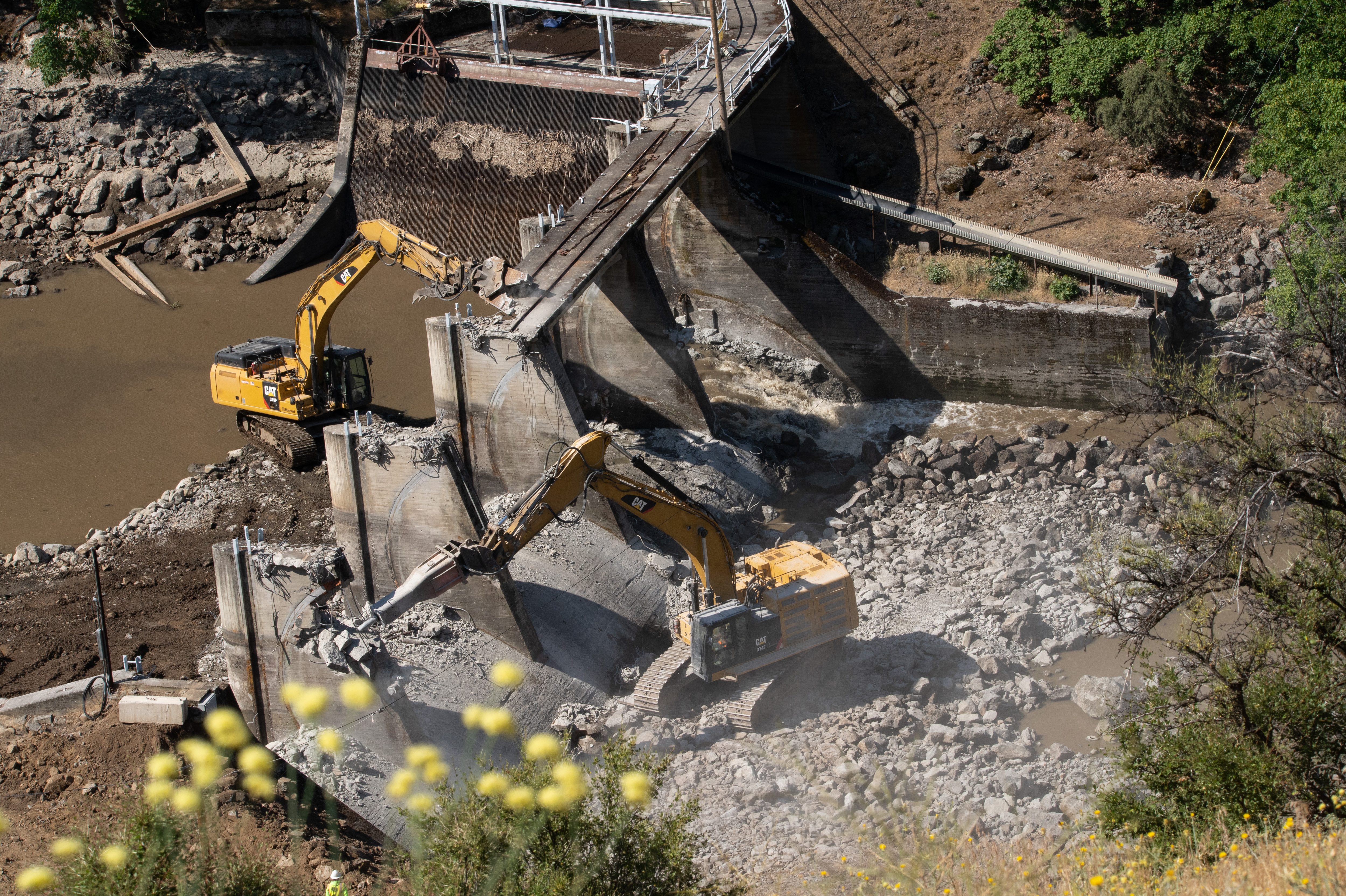
In the Central Valley, restoration in the Yolo Bypass demonstrates the multiple benefits that emerge when we give rivers more room to access their floodplains. In the Sierra Nevada, the restoration of Ackerson Meadow in the Tuolumne River watershed is returning a deeply eroded landscape into a functioning wet meadow. And on the Klamath River, Tribally led removal of four hydroelectric dams has reconnected hundreds of miles of river habitat in the largest dam removal project in U.S. history when cheaper energy alternatives made those dams obsolete.
The challenge now is not simply to demonstrate that river restoration works. It is to move from proofs of concept to implementation at scale.
California should recognize healthy rivers and watersheds as essential infrastructure – and invest in restoring them with the same seriousness we bring to the infrastructure we’ve built. That means making watershed-scale river restoration a core component of state water planning and directing public investment toward places where restoring natural processes can provide measurable water supply, reduce flood risk, improve public safety, and benefit ecosystems.
It also means moving away from fragmented approaches that treat forests, meadows, rivers, floodplains, and groundwater as separate systems. They are pieces of the same hydrologic landscape. Restoring them strategically, at watershed scale, can create benefits that isolated projects cannot.
This approach is not about choosing nature over people, or rivers over communities. Those are false choices. Healthy rivers and healthy communities are not only compatible – they are inseparable. When rivers are healthy, they do irreplaceable work for us: reducing flood risk, storing water across the landscape, recharging aquifers, supporting clean water and providing habitat. When rivers lose those functions, communities ultimately bear the consequences and the costs.
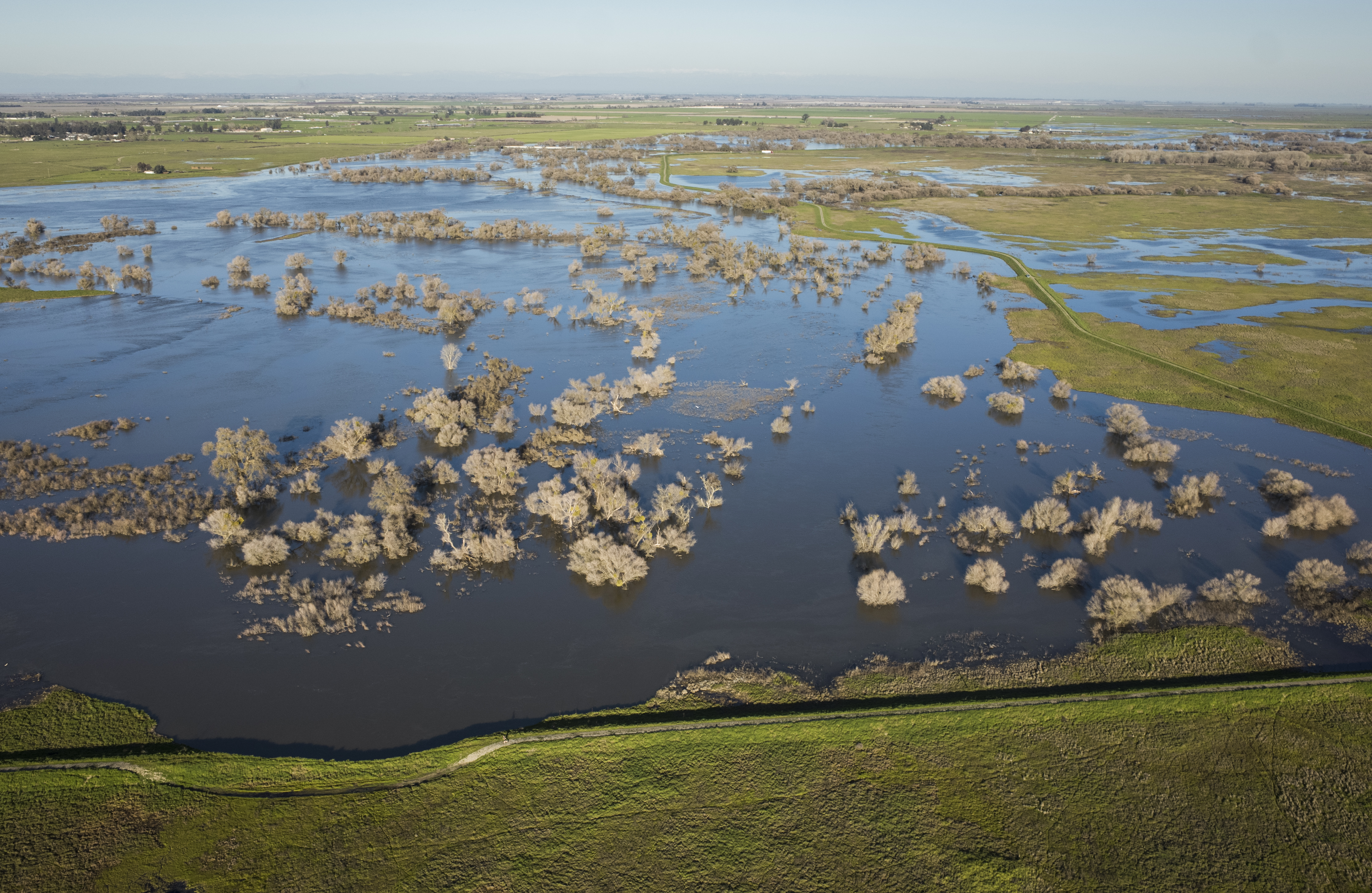
Healthy rivers and healthy communities are not only compatible – they are inseparable. When rivers are healthy, they do irreplaceable work for us: reducing flood risk, storing water across the landscape, recharging aquifers, supporting clean water and providing habitat. When rivers lose those functions, communities ultimately bear the consequences and the costs.
Nor is the choice simply between gray and green infrastructure. The question California should be asking is more practical: what combination of built and living infrastructure will make our water system most resilient to the conditions we now face? That question becomes especially urgent when another extreme winter is approaching. Our immediate attention will understandably turn toward reservoir operations, levees, flood preparation, and emergency response. But we should not lose the larger opportunity to modernize our water management when the storms pass.
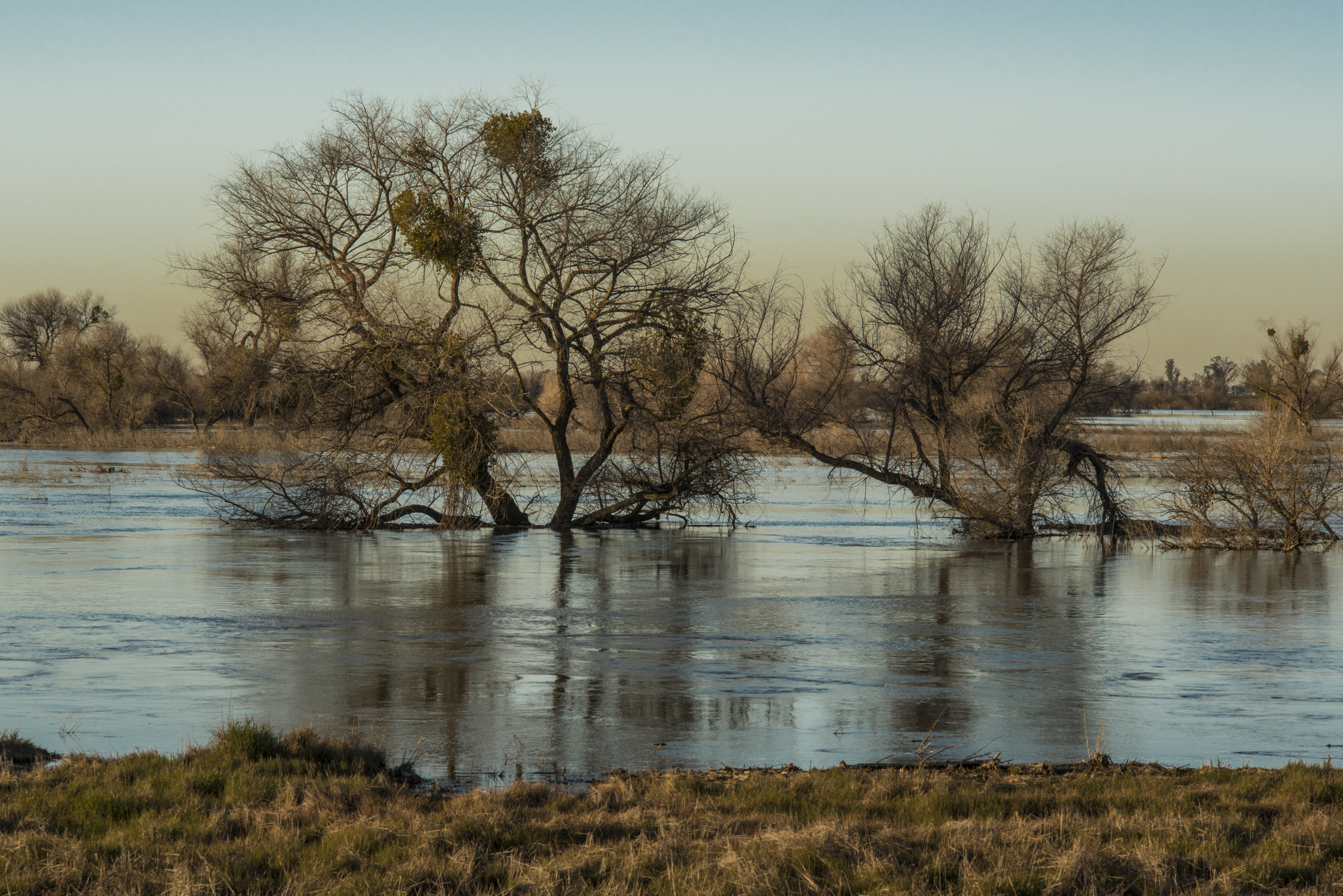
A century ago, California transformed its rivers to meet the needs of a growing state. Now we face different challenges. We need to decide which pieces of that legacy infrastructure continue to serve us, retire those that no longer do, and restore the living infrastructure we will increasingly depend upon.
The next drought will come. So will the next flood. California cannot control that cycle. But we can create a water system better prepared for both.
Healthy rivers aren’t beneficiaries of infrastructure investment. They are infrastructure worth investing in.
For more than the last century, the flows of the Colorado River have been managed and dictated by the demands of a rapidly growing and changing West. There are founding legal documents, and then agreements stacked on those, often known as the “Law of the River.” These agreements are between states, between sovereign nations, including Tribal Nations and Mexico; between districts and companies and branches of the US Government. It’s hard to find the appropriate metaphor for how all of these agreements work together (and at times against one another) to manage the Colorado River system. But even fraught metaphors are sometimes the only way to get through something so complicated.
Imagine the web of agreements and founding legal documents that guide the management of the Colorado River as a body. The 1922 Colorado River Compact would be the skeleton, the framework upon which all the other functions of the body are built. The limbs could be the communities, farms, Tribes, businesses, ecosystems, and economies that rely on the river’s blood (Colorado River water). The agreements that build on the framework of the Compact, such as the 2007 Interim Guidelines or the 2019 Drought Contingency Plan (DCP), act as nerves that facilitate or trigger movement and action. Perhaps the brain is the network of decision makers – the Bureau of Reclamation, the states, the Tribes, Mexico and others whose decisions and cooperation keep the system functioning, underscoring why coordination and consensus are so important: a body whose different parts are working at cross-purposes cannot function effectively. The blood then, of course, is the Colorado River water allocated to parts of the body.
Continuing the body metaphor for the contemporary management of the Colorado River system, additional agreements (or the nerves that trigger certain action) were added to the body.
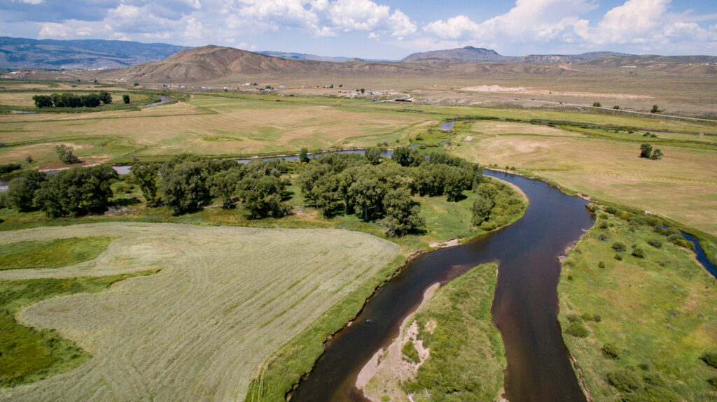
On Friday, August 24, the Bureau of Reclamation released three documents outlining a 10-year framework for how the Colorado River will be managed for the next two years and how management decisions for the subsequent 8 years will be made. You can read the Bureau’s summary doc here.
- The Final Environmental Impact Statement (FEIS): evaluates the many proposed plans Reclamation considered for how the river should be managed going forward, and identifies a preferred alternative, a 10-year framework built on operating plans developed in at least two-year increments;
- The Record of Decision (ROD): adopts the 10-year operating framework and sets the principles and guardrails for future operations including how water can be stored, shortage sharing, critical infrastructure protection, consultation, and the movement of water between Lake Powell and Lake Mead; and
- The 2027-2028 guidelines: establish the specific operating approach for the first two years under the new framework.
While the two-year guidelines put real numbers and real movement on the table, the ultimate test is whether the guidelines, alongside the side agreements, investments, and management tools needed to support them, are put in place and function as intended – and whether, together, they can keep the body upright.
Six months from now, the more consequential questions will be whether the new guidelines:
- provide more certainty and transparency, including clear pathways for addressing disputes and disagreements when they arise;
- support flexible and adaptive management tools that can respond to changing hydrology and conditions;
- meaningfully include Tribal Nations in both decision-making and implementation;
- reduce reliance on emergency operations and short-term crisis response; and
- create a workable path toward long-term resilience — one that can withstand disagreement, including litigation, without bringing implementation and collaboration to a halt.
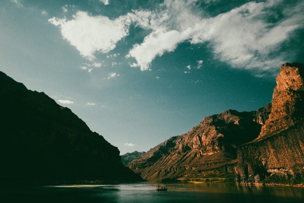
Finally, and critically, these new guidelines must recognize healthy rivers and watersheds as a core element of the Basin’s resilience infrastructure, because in the middle of all the agreements – at the core of all the collaboration and controversy, the skeleton and nerves and muscles that move it, there is a river – there is a heart; the whole reason blood moves through the system at all.
Colorado River in the Grand Canyon, Arizona | Nick Kelley
Healthy rivers and forests, connected floodplains, and intact watersheds are essential to the body, to the Basin. They support the reliability of our water supplies, reduce the risks and impacts of wildfire; they sustain fish and wildlife, support recreation, and strengthen the Basin’s ability to withstand drought and changing conditions. They are invaluable.
Which is to say, at the center of all the agreements and negotiations and collaboration and controversy, is the river. Has always been the river. And if we succeed at all in our management, if we have any hope of keeping this body upright, there will always be the river.