Public lands protect our water supply: the journey of a drop to your faucet
How healthy forests affect rivers
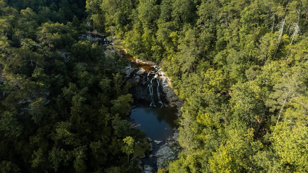
Water appears in an instant when you turn on your kitchen tap for a morning coffee, fill a glass, rinse a plate, water a houseplant, or complete any number of household chores that involve your tap. These are ordinary parts of the day, yet most people rarely stop to wonder where that water was before it reached the taps we use. The journey of a single drop of water often begins far upstream in the forests and headwater streams of our public lands.
The connection between public lands and our faucets runs through rivers. Rain and snowmelt from these landscapes feed small streams that eventually join larger rivers. As David Moryc, American Rivers’ Senior Director of River Protection, explains, “rivers are an essential and major source of clean, low-cost drinking water.” That is why protecting public lands upstream can help protect the quality of the water that eventually reaches our homes.
Where our water begins: public lands
In forests, mountain meadows, wetlands, and other headwater areas, rain falls and snow accumulates. As snow melts, water moves through the land before collecting in small streams that carry it downstream.
Many of these headwater landscapes are found on our public lands, like National Forests and other protected places. They are part of watersheds —areas of land where rainfall and snowmelt drain toward a common river. Everything that happens in that landscape can shape the water that moves throughout it.
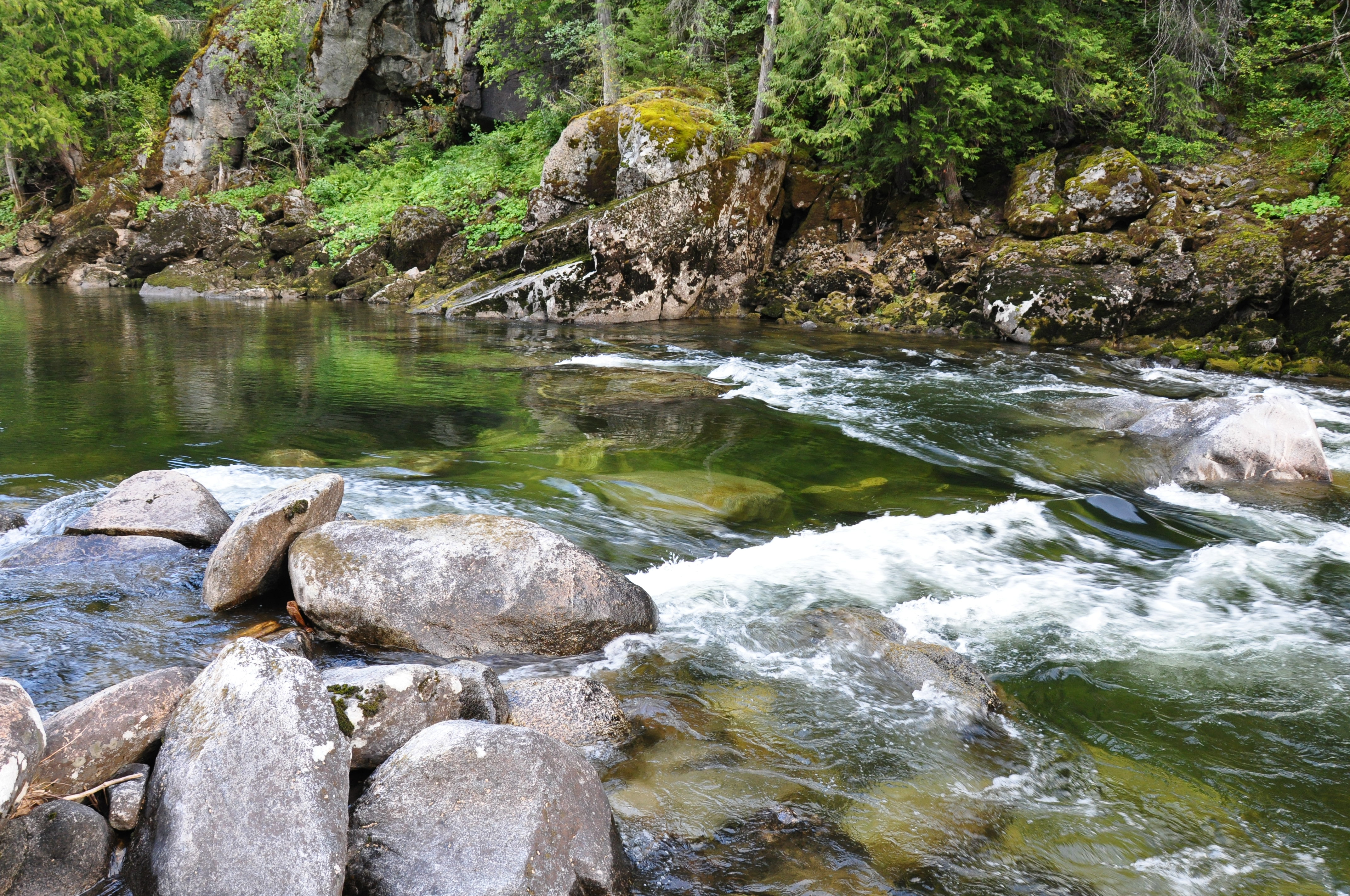
From healthy forests and riverside lands, riparian areas to wetlands and meadows, all of these key areas play a role in how water moves in a watershed. They help prevent flooding, store water, reduce erosion, support cooler and more reliable stream flows, provide habitat for wildlife, and help rivers remain healthy as they make their journey downstream.
These healthy rivers and surrounding landscapes are important for wildlife and for people, too. Most of us who hunt, fish, swim, or hike on rivers regularly find ourselves on public lands, and for a good reason: they are home to the largest number of healthy, free-flowing rivers in the nation. These freshwater arteries support wildlife, incredible and economically important outdoor recreation, and us — as the largest single source of drinking water for Americans. U.S. National Forests alone provide drinking water to over 60 million people in 3,400 communities across 33 states, and they are source areas for many important rivers as well as local and regional aquifer systems. Lesser known, but no less important, are the water resources that flow from Bureau of Land Management lands — estimated to provide drinking water to 1 in 10 Americans in the Western United States.
Let's Stay In Touch!
We’re hard at work for rivers and clean water. Sign up to get the most important news affecting your water and rivers delivered right to your inbox.
One particularly important part of our national forests is their Inventoried Roadless Areas — relatively undeveloped landscapes where road construction has been limited, playing an important role in supplying clean drinking water to downstream communities. Across the contiguous United States, these areas help protect more than 80,000 miles of rivers.
An American Rivers-commissioned 2026 analysis by Conservation Science Partners helps illustrate the scale of that connection. The analysis identified over 10,000 watersheds influenced by U.S. Forest Service Roadless Areas, either because at least part of the watershed lies within those areas or because it is located within 100 river miles downstream. At least 27.4 million people depend on these IRA-influenced watersheds as a source of drinking water through public water systems. Of those, 22.9 million depend on watersheds located downstream of the roadless areas themselves.
Behind those numbers are everyday moments: filling water bottles before school and cooking dinner, all while trusting that clean water will be there when you turn on the tap.
The report also found that forested landscapes generally provide more consistent and higher-quality water yields than other land-cover types, in part because trees help slow rainfall and forest soils allow more water to soak into the ground. Moryc describes forests, headwaters, wetlands and healthy rivers as “natural reservoirs and filters to provide low-cost sources of drinking water while supporting nature.”
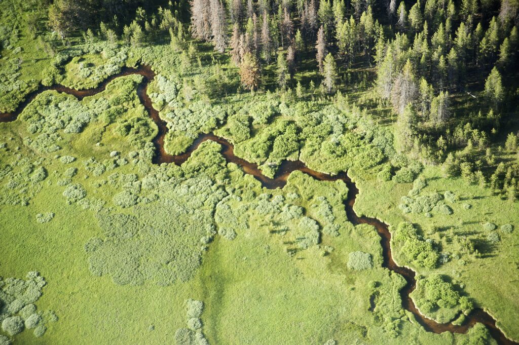
How does water travel from public lands to communities? Follow the water downstream.
From these headwater landscapes, our drop enters small creeks and streams. As those waterways join larger tributaries and rivers, they carry water toward the communities that depend on them. Some of these waterways are small enough that many people would never think of them as part of their drinking-water system. By the time a river reaches a city, its health has already been shaped upstream by the streams and landscapes that feed it.
From the river to your faucet: how does river water become drinking water?
Travel farther downstream, and here we find larger rivers and reservoirs — water sources that communities rely on frequently without realizing it. That connection becomes more tangible when looking at individual communities. Moryc pointed to Denver, Colorado, as one example: 30 percent of Denver’s water supply comes from watersheds containing Inventoried Roadless Areas.
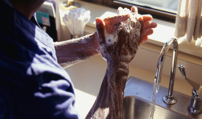
From these water sources, water is collected, treated, and transported through the web of infrastructure that makes modern drinking-water systems possible. By the time it reaches a household faucet, people can simply turn a handle and access it.
How do public lands protect drinking water quality? What happens upstream does not stay upstream.
When streams and floodplains are degraded, erosion increases, or healthy river corridors are lost, the effects can travel downstream, too. Roads are one example: logging roads can increase erosion and sediment delivery to streams by up to 850 percent compared with rates in undisturbed habitat. U.S. Forest Service research has repeatedly identified road building as a major human-caused source of soil and water disturbance, damaging watershed health in national forests.

What healthy public lands do for our water:
-
Forests
slow rainfall and help water soak into the ground
-
Wetlands
store water and help reduce flooding
-
Healthy streambanks
reduce erosion and keep sediment out of waterways
-
Headwater streams
feed rivers that supply communities downstream
Those impacts can eventually reach the systems communities rely on for drinking water. “More roads or unsustainable development increase pollution and increase cost of treatment downstream,” Moryc explains. “Water utilities have to add chemicals and take other costly steps to treat the drinking water once polluted. In the worst cases, there are increased public health risks to clean water as well.”
That is one reason protecting drinking water cannot begin only where people withdraw water for their communities. It has to include the broader watershed, from small headwater streams to floodplains, and the landscapes surrounding them.
This connection between healthy rivers, healthy landscapes, and drinking water is also part of why American Rivers works beyond the river channel itself. As Moryc explains, “American Rivers is working on policy and projects at the federal and state levels to protect our rivers and drinking water supplies.”
Back at the faucet: why does protecting public land matter for clean water?
Now let us return to the kitchen. The glass of water sitting beside the sink may feel far removed from a mountain meadow, a forest stream, or even a wetland hundreds of miles away. But they are all parts of the same story.
The next time you turn on your faucet, think of the public lands and healthy rivers that help make something as simple as a glass of clean water possible. These are places worth protecting for their beauty and wildlife, and for the essential, often overlooked role they play in our everyday lives.
Protecting the water at your faucet starts at the source.
How do public lands provide drinking water?
Public lands provide drinking water by protecting the forests, wetlands, headwater streams, and watersheds that feed rivers and other freshwater sources. Rain and snowmelt from these landscapes flow into streams and rivers that supply communities downstream.
How do forests help keep drinking water clean?
Forests help protect drinking water by slowing rainfall, allowing water to soak into the soil, reducing erosion, and limiting the amount of sediment that enters streams and rivers. Healthy forest landscapes also help regulate water flows.
How does road construction affect drinking water?
Road construction and logging roads can increase soil erosion and sediment pollution in nearby streams and rivers. More sediment and other pollutants can make drinking water more expensive to treat and can threaten downstream water quality.
Why should we protect rivers and forests to protect drinking water?
Rivers, forests, wetlands, and other healthy landscapes work together to protect freshwater supplies. Conserving these places helps maintain water quality, reduce erosion and flooding, and support reliable drinking water for people and wildlife.
How does protecting public lands help American Rivers protect rivers?
Public lands contain many of the forests, headwaters, and watersheds that feed rivers across the country. American Rivers advocates for policies that conserve these landscapes, including National Forests and Inventoried Roadless Areas, helping protect the rivers and drinking water sources that communities depend on. Learn more about our work.