American Rivers With Economics Evaluation And Research Prepared By University Of Maryland Environmental Finance Center.
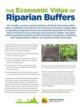
American Rivers’ report, The Economic Value of Riparian Buffers presents research findings from the Environmental Finance Center at the University of Maryland to increase what is understood of economic values associated with the current scientific evidence supporting protection and restoration of forested streamside areas known as riparian buffers.
The scientific, economic and policy literature all indicate that riparian buffers deliver multiple benefits for rivers and people and can be an effective restoration, conservation and management practice that is generally appropriate for all land use types.
While the ecological benefits of riparian buffers are well understood, the current state of research provides estimates for only two sources of economic value for residential property and community. This report discusses valuation of buffers in terms of their function and identifies economic models that have been used to monetize the environmental, societal and human value of riparian buffers.
The reported findings from current literature and research include:
- Riparian buffers have a positive economic value in terms of private and public benefits.
- The economic value of riparian buffers generally increases with width and length.
- Riparian buffers generate a price premium for residential property. And,
- The public is willing to pay for watershed restoration with riparian buffers.
The report also identifies room for more research and a need for greater understanding of riparian buffers and the attributes of buffers that are valued in society in order to achieve broad acceptance, improved protection and restoration implementation and measurable conservation gain.
There is an increasingly urgent need for renewed investment in our communities’ water infrastructure. This need is driven by the unfortunate reality that for the many decades, funding to maintain water systems has fallen short of the cost of providing safe drinking water, sewage treatment and flood control. The result is decaying or outdated infrastructure that cannot keep pace with changing demand for water and wastewater treatment, growing population and increasingly heavy rainfall events.
This guide is intended to acquaint advocates with the financing practices and imperatives that define drinking water management today. it can be used to prepare for engagement with drinking water utilities, the city councils that set water rates and the State Revolving Fund administrators that help to finance water infrastructure. And it can be used by advocates of all different stripes – environmental, affordability and taxpayer advocates – to strategize collaboration.
This guide should help advocates understand not only how to be more effective opponents of destructive and bloated infrastructure projects, but also how to be more effective proponents of sustainable drinking water systems. It covers such important topics as:
- How do water systems pay for infrastructure?
- What risks come along with financing water infrastructure?
- Why don’t water systems put conservation first?
- How should water systems structure their rates?
- How do water systems pay for conservation?
- How do we balance conservation and affordability?
- How do we build support for conservation?
Many cities are defined by their relationship to rivers. People need clean water for drinking and bathing, but urban areas can have profound impacts on water quality and supply.
Furthermore, the neighbors that share the river add to these impacts. By managing all water resources in a holistic way, and by engaging with neighbors throughout the watershed, city leaders can integrate management at many levels.
In partnership with Great Lakes and St. Lawrence Cities Initiative, Johnson Foundation at Wingspread, and Mayors Innovation Project, American Rivers explored these themes in a two day convening. This report collects the ideas, inspirations, and expertise of the mayors, municipal leaders and urban water managers who attended. It also charts a path forward for American Rivers, cities, and water agencies interested in pursuing integrated water management.
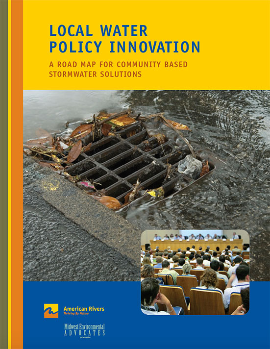
Stormwater that dirty, oily runoff from streets and parking lots that contaminates local streams is a leading cause of water pollution in Ohio and around the country. American Rivers and Midwest Environmental Advocates released a report, “Local Water Policy Innovation: A Road Map for Community Based Stormwater Solutions” to help citizens tackle this pervasive problem and ensure clean water in their communities.
The threats posed by stormwater are caused locally, seen locally, and are best addressed locally. Stormwater pollution begins when natural landscapes are altered, changing the way water moves over the land. Hard structures such as parking lots and rooftops prevent water from naturally soaking into the ground. The rain water picks up pollution from streets and runs off into local streams. A typical 10-acre parking lot will create 270,000 gallons of polluted stormwater runoff after only one inch of rain. Our paved surfaces and rooftops generate 16-times more runoff than the fields they replace, increasing the frequency and severity of flash flooding. Due to sprawling impervious surfaces, many urban areas now lose between 300 and 690 billion gallons of water annually that would otherwise be filtered back into groundwater and drinking water supplies.
This report explains how to improve stormwater policies in local communities and capture the attention of policy makers. Local governments already have the processes in place to ensure good stormwater practices with zoning districts, site plan reviews, zoning ordinances, and Comprehensive Plans now it’s time to act.
By following the steps and guidelines in this report, citizens will be on their way to reducing stormwater pollution and making lasting changes in policy that preserve the natural landscape so many enjoy in local parks and at local waterways.
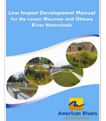
This manual is written to provide stormwater managers and site designers with a common understanding of Low Impact Development (LID) goals and objectives, site assessment considerations, and a toolbox of stormwater Best Management Practices (BMP) applicable to the Lower Maumee and Ottawa River watersheds. BMP information includes design guidelines, specifications, details, and maintenance concerns as well as assistance in selecting the BMPs based on the unique characteristics of a particular site. This is a technical manual and the information provided is targeted toward engineers, planners, landscape architects, and technical staff, as well as policy makers and developers.
In addition, this manual will help to foster a watershed approach to improving water quality within the region. With this understanding, the manual focuses on stormwater BMPs that apply across the two watersheds, ranging from using vegetated buffers in agricultural areas to vegetated roofs in urban areas. The aspiration is to create a user-friendly watershed-wide LID Manual to help protect the rivers and streams within the Lower Maumee and Ottawa River watersheds.
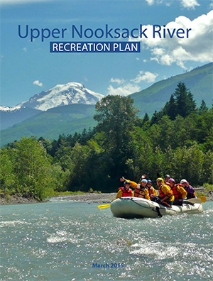
The Upper Nooksack River Recreation Plan will help guide the management of recreation and natural resources along the upper Nooksack River system in Washington state. The plan recognizes and supports the economic and health benefits of recreation, along with protection and restoration of the natural and cultural values of the upper river basin.
The recreation plan was developed through a collaborative planning process led by an advisory committee comprised of representatives from American Rivers, American Whitewater, Hydropower Reform Coalition, Mount Baker Club, National Park Service, Nooksack Tribe, Nooksack Salmon Enhancement Association, Pacific Northwest Trail Association, the United States Forest Service – Mt. Baker Ranger District, Whatcom Chapter of Back Country Horseman of Washington, Whatcom County Parks and Recreation Department, Whatcom Events (Ski to Sea Race), the Whatcom Land Trust, and Wild and Scenic River Tours. Planning assistance was provided by the National Park Service’s Rivers, Trails, and Conservation Assistance Program.
Preserving and protecting small streams is the best approach to ensure environmental and community benefits such as clean water and flood reduction. In highly urbanized areas, however, where small, headwater streams are often buried, hidden, and forgotten, protecting headwater streams is not possible. Stream daylighting is a relatively new approach that brings these buried waterways back to life by physically uncovering and restoring them. Daylighting is an applicable technique to assist communities in reducing polluted runoff, addressing flash flooding concerns, and improving the livability of the built environment.
This report describes the importance of small streams and provides the context for why many of today’s urban streams are buried. It also identifies and analyzes the benefits of stream daylighting, including water quality improvements, flood mitigation, and community and economic revitalization. Case studies below illustrate the benefits provided to communities by daylighting. While there are many examples of daylighting, we found daylighting projects in both Kalamazoo, Michigan and Yonkers, New York illustrated the most developed benefits to flood mitigation and community revitalization, respectively.
Daylighting, furthermore, provides economic benefits to communities through cost effective alternatives to ongoing culvert maintenance and by keeping stormwater out of combined sewer systems, thereby reducing water treatment costs. Municipalities also gain ecological and water quality benefits, such as improved habitat and nutrient retention, by revitalizing a previously buried stream. In fact, daylighting streams can also mitigate floods by restoring floodplains which increases hydraulic storage, reducing channelization which slows water thereby decreasing flooding potential, and removing choke points such as culverts where water backs up and causes localized flooding.
Finally, to identify ways to better facilitate daylighting projects in the future, this report examines barriers to daylighting, including major water policies. This report also highlights numerous case studies where communities have implemented daylighting, and provides potential funding mechanisms for communities considering daylighting. Recommendations for enhancing the use of stream daylighting as a tool to improve clean water and communities, improve habitat, and reduce localized flooding include:
Increasing scientific research and comprehensive monitoring
Additional research and monitoring efforts will improve scientific data on daylighting allowing for more comprehensive guidance.
Utilizing a standardized daylighting database
A comprehensive database with a set of standardized measureable values would vastly assist stream daylighting implementation.
Removing policy barriers to aid the implementation of stream daylighting where appropriate
Policies and funding which make daylighting projects easier to implement are imperative in order to make these more common practices.
Raising awareness of buried streams to galvanize community involvement and reconnect people to rivers
Raising awareness of buried streams within urbanized environments can engage community residents and create interest in clean water, community health, and revitalization.
Implementing these recommendations can vastly improve daylighting, while also making it easier for communities addressing stormwater controls and water quality issues to adopt this relatively new approach. Currently, there are a suite of practices used to control stormwater runoff including bioretention, rain gardens, and green roofs; however, daylighting could add to this repertoire and in some instances be a more economical and environmentally effective option, if certain policy barriers are removed and scientific data improved. As communities find ways to improve their built environment, daylighting should be considered with the suite of techniques used to improve urban environments.
The report highlights numerous case studies where communities have implemented daylighting including: Bee Branch Creek, Dubuque, Iowa; Arcadia Creek, Kalamazoo, Michigan; Saw Mill River, Yonkers, New York; Peyton Creek, Staunton, Virginia; Blackberry Creek, Berkeley, California. Additionally, case studies from Michigan, South Korea, Indiana, and Washington are discussed.

Did you ever have a favorite place growing up that now, every time you drive by, it reminds you of your childhood? Whether it is a bridge, farm, a dam, or some other memorable landmark, there are historic structures and places across the country that have special significance to their communities.
Historic preservation laws were devised to protect cultural, archaeological, and architectural sites, structures, and landscapes that are significant to our heritage. While one generally envisions houses, cemeteries, and battlefields as having historic significance, other structures such as dams and bridges can be historically significant and may receive protection if their engineering is unique and/or they served an important role in local, state, or national history. Historic preservation and conservation organizations often partner on issues such as urban sprawl and smart growth, finding ways to simultaneously preserve our nation’s heritage and natural environment. As our nation’s infrastructure continues to age and we come to recognize its impact on the environment, river restoration projects can create opportunities for historic preservation and environmental restoration interests to work together.
In some cases, efforts to restore rivers involve proposals for removal of dams. A majority of dams were constructed prior to passage of both the National Historic Preservation Act (1966) and the National Environmental Policy Act (1969) and thus were built without the procedural safeguards now mandated by those statutes. Some of the dams that were once integral to our nation’s growth—providing power for grist mills and industrial cities, municipal drinking water, and electricity —no longer serve their intended purpose; costly repair may be needed to prevent their failure and ensure safety as these structures age. According to the American Society of Civil Engineers, one-quarter of the nation’s dams are older than 50 years; that number will increase to 85 percent by the year 2020. Because of their deterioration and additional documentation on the detrimental effects dams have on river ecosystems, dam removal has become an increasingly pragmatic method for restoring natural river functions and eliminating unsafe infrastructure. Removing a dam can provide many benefits, such as allowing migratory fish species access to historic spawning grounds, improving water quality and the natural movement of sediment and other nutrients, and reestablishing the natural flow regime . However, restoring environmental balance to our nation’s rivers may affect historic structures and archaeological sites, triggering state and federal historic preservation laws, and interest in preserving a piece of local history, as well as providing an opportunity for historic discovery .
Dam Removal and Historic Preservation: Reconciling Dual Objectives was written because too often advocates for river restoration through dam removal find themselves in the middle of a project and at odds with potential partners over matters of historic preservation. Dam removal proponents need to better understand the processes established to protect historic values so they can work more effectively in partnership with historic preservation interests to establish and achieve mutual goals. While the historic fisheries that helped build this nation, from providing sustenance to Washington’s troops during the American Revolution to their role as a sacred species to many tribes, deserve recognition, it is also important to respect the role of the dam, and in some cases the impoundment, in building local communities and sometimes as the social center for a town. The primary audiences for this report are dam removal project managers such as state agencies, community leaders, watershed groups, consultants. It is also our hope that local historic preservation societies and associations will also find it useful. Furthermore, we hope that this document will help parties involved in such endeavors to build constructive relationships and successfully reconcile potentially competing objectives.
This report begins with a primer on Section 106 of the National Historic Preservation Act, the federal law that applies to many proposed dam removal projects. State and local historic preservation laws may also pertain to proposed dam removal projects. In most cases, state and local historic preservation laws parallel the federal law, and compliance with all levels of jurisdiction can be achieved in a single process.
The report also examines opportunities for historic preservation and environmental interests to participate in productive discussions about whether a proposed dam removal could adversely affect historic resources and, if so, work together to identify methods for avoiding, minimizing or mitigating the adverse effects of the dam removal project.
Finally, this report provides case studies of actual dam removal projects that have addressed historic issues (see Appendix A), and an overview of federal, state, and tribal historic preservation laws (see Appendix B). Whether you are a dam owner, community member, state or federal agency, historical society, an advocate for river restoration and/or historic preservation, this report provides you with important information about reconciling the dual objectives of dam removal and historic preservation and making the often difficult choices between compelling cases to restore rivers or retain historic value.
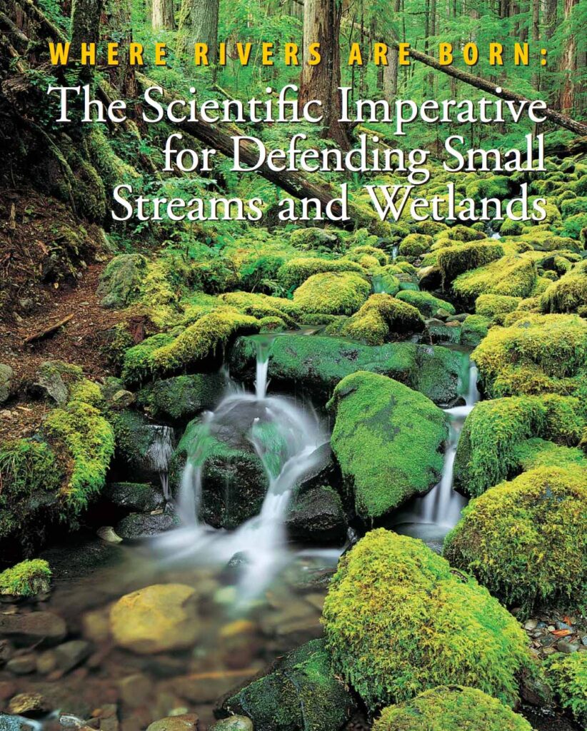
Our nation’s network of rivers, lakes, and streams originates from a myriad of small streams and wetlands, many so small they do not appear on any map. Yet these headwater streams and wetlands exert critical influences on the character and quality of downstream waters. The natural processes that occur in such headwater systems benefit humans by mitigating flooding, maintaining water quality and quantity, recycling nutrients, and providing habitat for plants and animals. This paper summarizes the scientific basis for understanding that the health and productivity of rivers and lakes depends upon intact small streams and wetlands. Since the initial publication of this document in 2003, scientific support for the importance of small streams and wetlands has only increased.
Both new research findings and special issues of peer reviewed scientific journals have further established the connections between headwater streams and wetlands and downstream ecosystems. Selected references are provided at the end of the document.
Historically, federal agencies, in their regulations, have interpreted the protections of the Clean Water Act to broadly cover waters of the United States, including many small streams and wetlands. Despite this, many of these ecosystems have been destroyed by agriculture, mining, development, and other human activities. Since 2001, court rulings and administrative actions have called into question the extent to which small streams and wetlands remain under the protection of the Clean Water Act. Federal agencies, Congress, and the Supreme Court have all weighed in on this issue. Most recently, the Supreme Court issued a confusing and fractured opinion that leaves small streams and wetlands vulnerable to pollution and destruction.
We know from local/regional studies that small, or headwater, streams make up at least 80 percent of the nation’s stream network. However, scientists’ abilities to extend these local and regional studies to provide a national perspective are hindered by the absence of a comprehensive database that catalogs the full extent of streams in the United States. The topographic maps most commonly used to trace stream networks do not show most of the nation’s headwater streams and wetlands. Thus, such maps do not provide detailed enough information to serve as a basis for stream protection and management.
Scientists often refer to the benefits humans receive from the natural functioning of ecosystems as ecosystem services. The special physical and biological characteristics of intact small streams and wetlands provide natural flood control, recharge groundwater, trap sediments and pollution from fertilizers, recycle nutrients, create and maintain biological diversity, and sustain the biological productivity of downstream rivers, lakes, and estuaries. These ecosystem services are provided by seasonal as well as perennial streams and wetlands. Even when such systems have no visible overland connections to the stream network, small streams and wetlands are usually linked to the larger network through groundwater.
Small streams and wetlands offer an enormous array of habitats for plant, animal, and microbial life. Such small freshwater systems provide shelter, food, protection from predators, spawning sites and nursery areas, and travel corridors through the landscape. Many species depend on small streams and wetlands at some point in their life history. A recent literature review documents the significant contribution of headwater streams to biodiversity of entire river networks, showing that small headwater streams that do not appear on most maps support over 290 taxa, some of which are unique to headwaters. As an example, headwater streams are vital for maintaining many of America’s fish species, including trout and salmon. Both perennial and seasonal streams and wetlands provide valuable habitat. Headwater streams and wetlands also provide a rich resource base that contributes to the productivity of both local food webs and those farther downstream. However, the unique and diverse biota of headwater systems is increasingly imperiled. Human-induced changes to such waters, including filling streams and wetlands, water pollution, and the introduction of exotic species can diminish the biological diversity of such small freshwater systems, thereby also affecting downstream rivers and streams.
Because small streams and wetlands are the source of the nation’s fresh waters, changes that degrade these headwater systems affect streams, lakes, and rivers downstream. Land-use changes in the vicinity of small streams and wetlands can impair the natural functions of such headwater systems. Changes in surrounding vegetation, development that paves and hardens soil surfaces, and the total elimination of some small streams reduces the amount of rainwater, runoff, and snowmelt the stream network can absorb before flooding.
The increased volume of water in small streams scours stream channels, changing them in a way that promotes further flooding. Such altered channels have bigger and more frequent floods. The altered channels are also less effective at recharging groundwater, trapping sediment, and recycling nutrients. As a result, downstream lakes and rivers have poorer water quality, less reliable water flows, and less diverse aquatic life. Algal blooms and fish kills can become more common, causing problems for commercial and sport fisheries. Recreational uses may be compromised. In addition, the excess sediment can be costly, requiring additional dredging to clear navigational channels and harbors and increasing water filtration costs for municipalities and industry.
The natural processes that occur in small streams and wetlands provide Americans with a host of benefits, including flood control, adequate high quality water, and habitat for a variety of plants and animals.
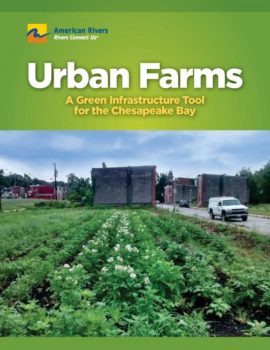
Stormwater runoff is a major problem for watersheds across the country, particularly the Chesapeake Bay. Green infrastructure is being used as a tool to mitigate stormwater runoff by restoring natural ground cover which allows precipitation to infiltrate into the soil. Urban agriculture is an innovative green infrastructure practice because it provides many benefits to the community as well as to watersheds. Urban farms mitigate stormwater runoff, increase the nutritional health of communities, improve the local economy, and provide residents with greenspace.
Cities across the country, especially in the Chesapeake Bay watershed, should integrate urban agriculture into their planning materials and zoning codes in order to promote this all around beneficial green infrastructure tool. Our report discusses the importance of urban agriculture to cities and their watersheds as well as gives recommendations to city officials on how to promote the use of urban agriculture in their community.
Check out these links to learn more about urban agriculture:
- modernfarmer.com
- greenroofs.com
- greenroofs.org
- seedstock.com
- urbanfarmonline.com
- urbanfarming.org
- growingpower.org
- beginningfarmers.org/urban-farming
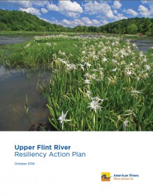
American Rivers’ 2014 Upper Flint River Resiliency Action Plan aims to guide work by a variety of stakeholders to restore drought resilience to the upper Flint River system of west-central Georgia. It follows on discussions and efforts of the Upper Flint River Working Group and on the RUNNING DRY report which we published with Flint Riverkeeper in 2013. Designed to be a “living document,” the Action Plan charts a plan of work that will be updated and expanded in future years as collaborative efforts in the river basin progress.
This action plan seeks to outline specific strategies to restore resilience to some of the most stressed portions of the river basin, along with highlighting key needs in the areas of policy, research and information. It includes a focus on preserving existing natural resources of value in the basin. This plan charts collaborative, transparent and practical efforts by the full range of individuals, communities, businesses, organizations and public entities that have a stake in the long-term health of the upper Flint River. In this spirit, this resiliency action plan serves as a starting point for collaborative work toward an integrated, basin-scale, science-based and practical approach to restoration throughout the upper Flint River basin.

Communities across the country are struggling to deal with the rising costs of controlling stormwater runoff and sewer overflows. Crumbling infrastructure and the expansion of hard surfaces such as pavement and roofs are sending polluted stormwater and sewage into surrounding waterways with increasing frequency. A changing climate defined by more severe storms will only increase this burden.
In the face of these challenges, many communities are embracing a new approach to managing runoff that focuses on capturing rainfall and preventing it from polluting surrounding waterways. By using green infrastructure techniques such as green roofs, rain gardens, tree planting, and permeable pavement, they are managing stormwater problems at a lower cost and realizing a wide range of other benefits from reduced air pollution, energy use, and urban heat island effect to improved wildlife habitat and aesthetics. These techniques also provide defenses against more frequent and severe heat waves, droughts, and flooding that a changing climate is bringing to many urban areas. Green infrastructure is a powerful tool for managing existing problems and preparing for the future.
A Challenge To Green Infrastructure Implementation
The Value of Green Infrastructure helps municipalities overcome a key barrier to more widespread adoption of green infrastructure. Our failure to value the full range of benefits from green infrastructure and the difficult challenge to translate these benefits into dollar figures so they can be compared to alternatives is restricting comprehensive integration of green infrastructure into local water management. And, determining the value of green infrastructure benefits for a locality has required studies beyond the resource capacity of most localities.
Evaluating The Benefits Of Green Infrastructure In Your Community
The guide produced by the Center for Neighborhood Technology and American Rivers, provides a framework that allows local communities to assess the local benefits of green infrastructure. The guidebook outlines a methodology for measuring and valuing the improvements in air quality, energy savings, carbon sequestration, and other areas. These benefits are above and beyond the stormwater control benefits, which are assumed to be equal to a similar investment in gray infrastructure. This guide allows communities to make more educated investments in infrastructure by helping them evaluate the full range of benefits from sustainable approaches to water management and realize green infrastructure’s potential to make communities more livable and less vulnerable to climate change.
